This section continues the Hong Kong Trail where Section 1 left off.
The hike is 4.5 kilometres, of medium difficulty and takes around 1.5 hours to walk. It features nice views over Pok Fu Lam (with a small detour) and Aberdeen, as well as some walking through forest.
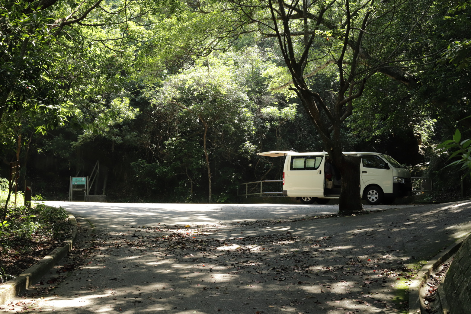
To get to the starting point, I took a bus to Pok Fu Lam Reservoir Road from Sheung Wan and just walked the road until I got to the roundabout where section 1 finished. I think this is the best way to get here, but there is also a possiblitiy of walking a road from The Peak down to the starting point.
If you want to go straight to the photos, see Photos: Hong Kong Trail, Section 2.
The first few hundred meters are very easy, and is just a car road. There are some views over Mount High West to the right.
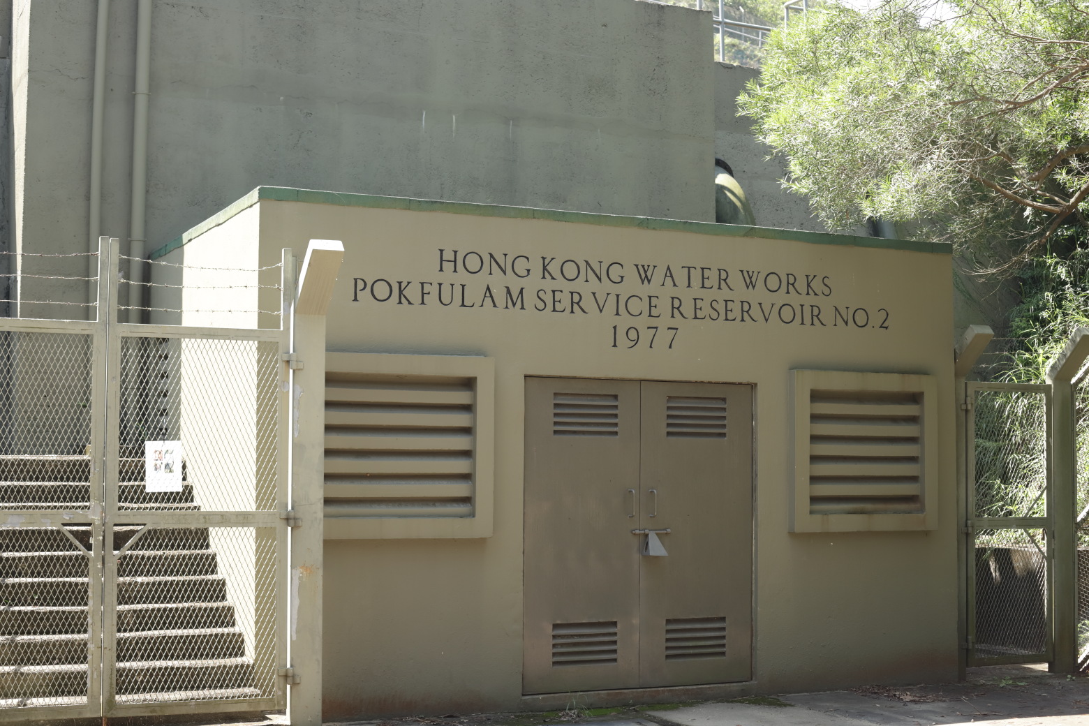
You'll soon get to a smaller service reservoir (on the left hand side of the trail). After you pass the building, the trail leaves the main road and turns left, along the edge of the reservoir fence.
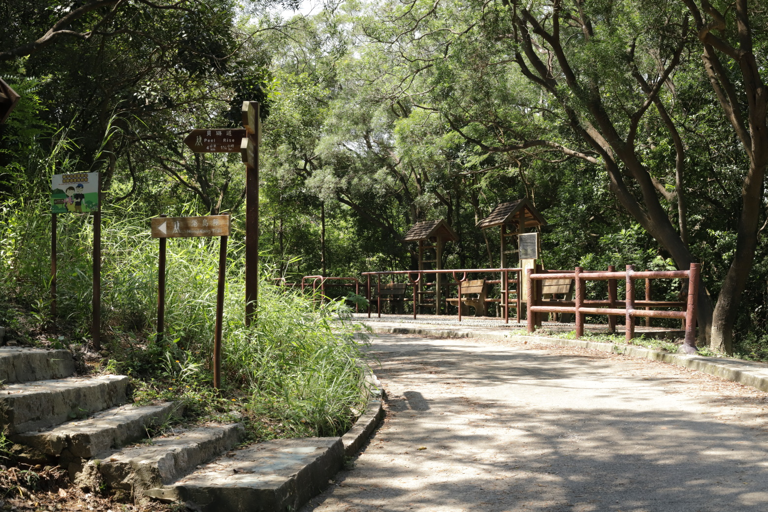
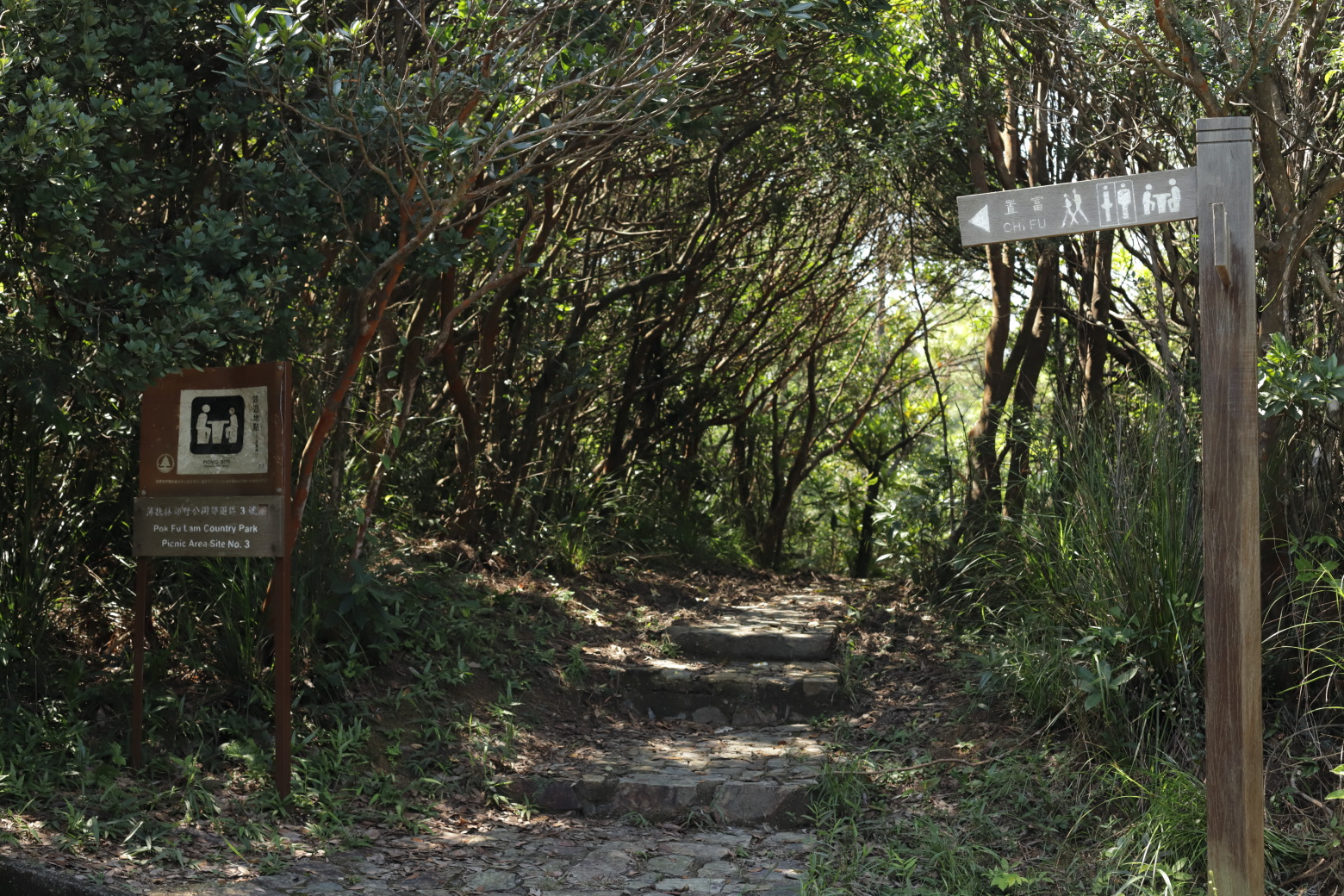
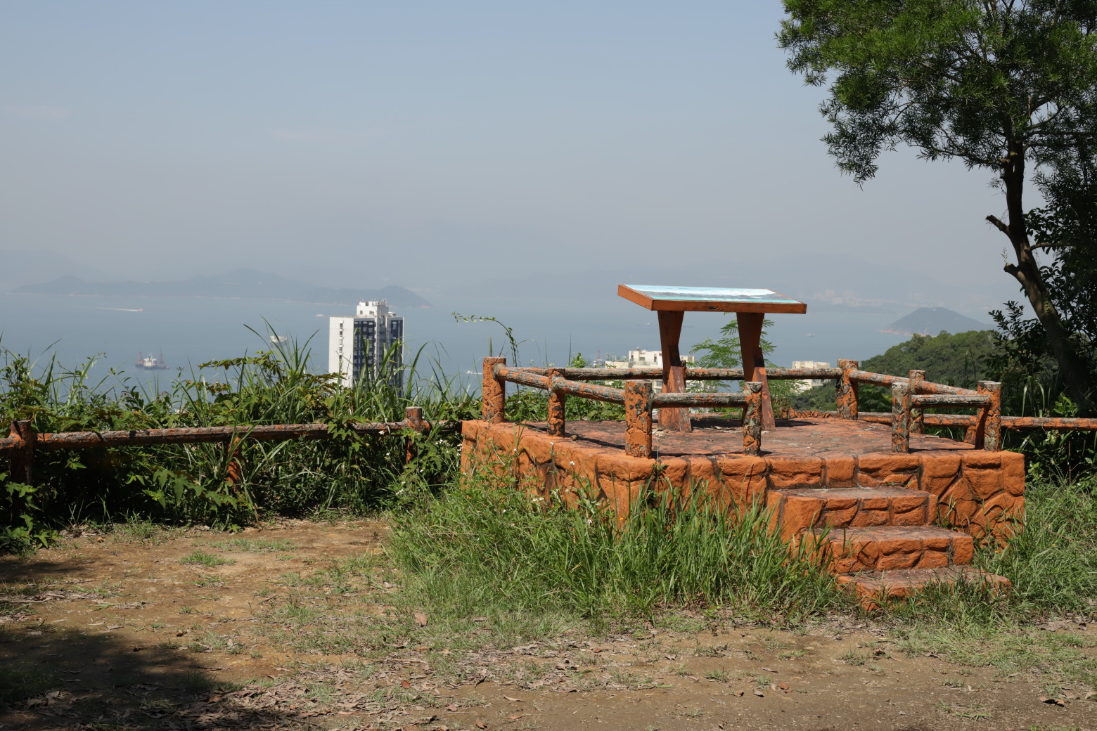
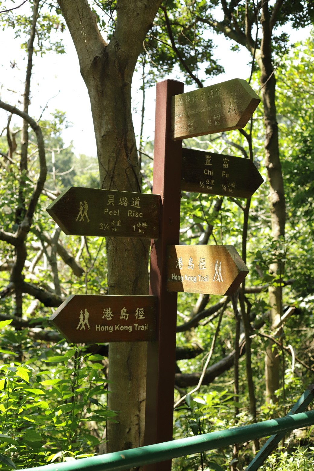
After climbing the stairs, there is a sign indicating a picnic area ahead. The trail continues to the left here, but I decided to continue straight to take a detour to the Pok Fu Lam View Compass (it's just a couple of hundred metres to there).
Walk downhill a short while, you get to the viewing platform. From there you can see Pok Fu Lam including the reservoir, Lamma Island, towards Bel-Air residences and more.
After enjoying the view, I walked back to the main trail. The road is paved and easy at this point, and goes through some forest.
The hiking trail soon joins with a horse-riding trail. Unfortunately I didn't see any horses this time. I guess the trail belongs to the riding school located just next to the Pok Fu Lam Reservoir Road bus station.
The road continues along a small stream on the left hand side, to an intersection where the trail continues to the left, crossing the stream on a bridge.
When crossing the bridge, I spotted something moving in the forest; it was a small wild pig walking around. I'm pretty sure it had noticed me but those creatures are not especially shy. I stopped to watch it walk away before continuing.
Wild pigs are usually not looking for a fight, with the exception of a mother protecting its juveniles. Some pigs here in Hong Kong are really large though, because they cross-breed with domestic pigs and have plenty of food.
The path continues along a nice stone walkway through the forest. After a rain shelter, the path again turns into an asphalt one with some occasional views over the areas below.
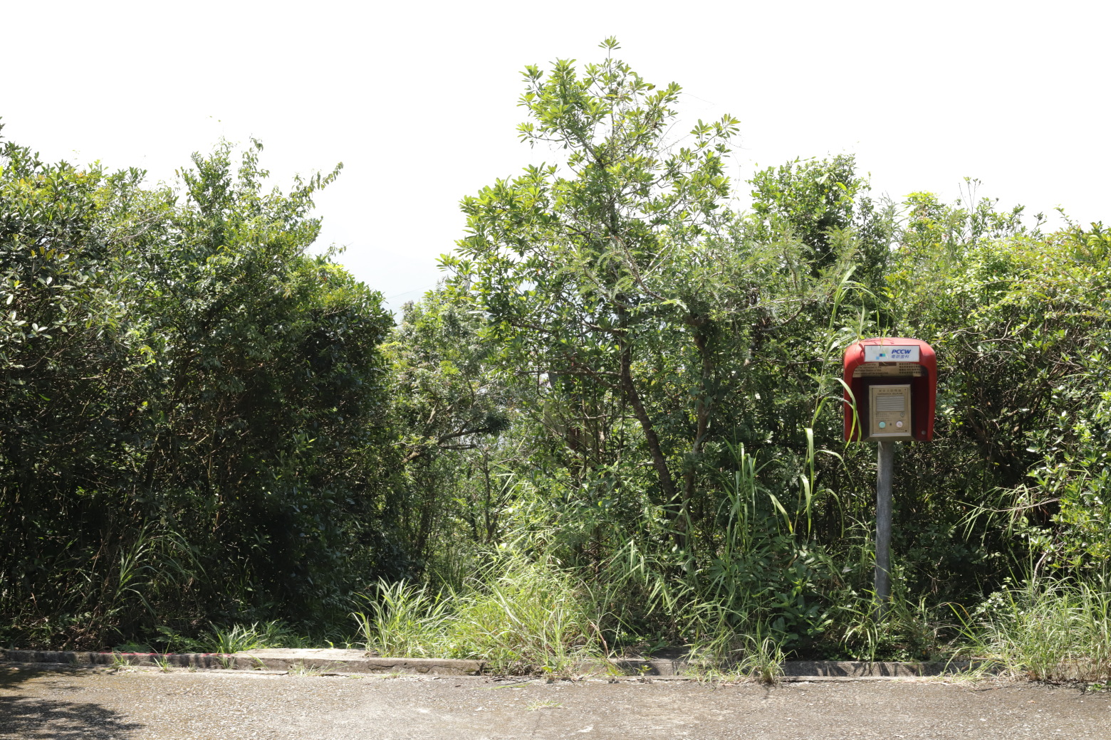
The road ends abruptly, and the trail continues down a small stairs to the left of the emergency phone.
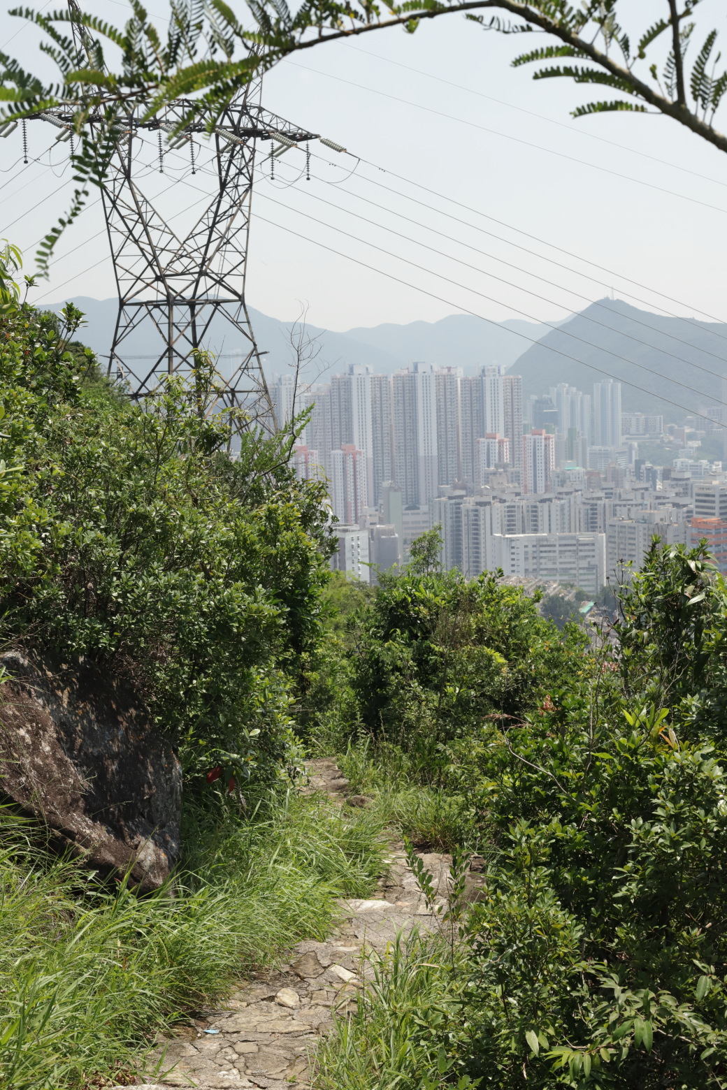
Down the stairs, there is a sitting area on the left hand side where you can get the first view of Aberdeen.
Continue on the trail and the environment will open up very shortly. The trail goes along a slope down to the water and Aberdeen. The path also gets a bit narrower, and there are some stairs where a bit of extra caution is advised.
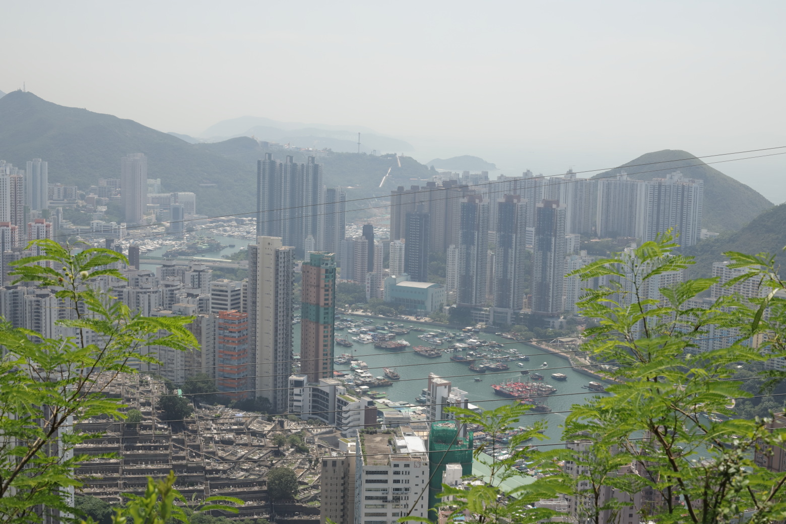
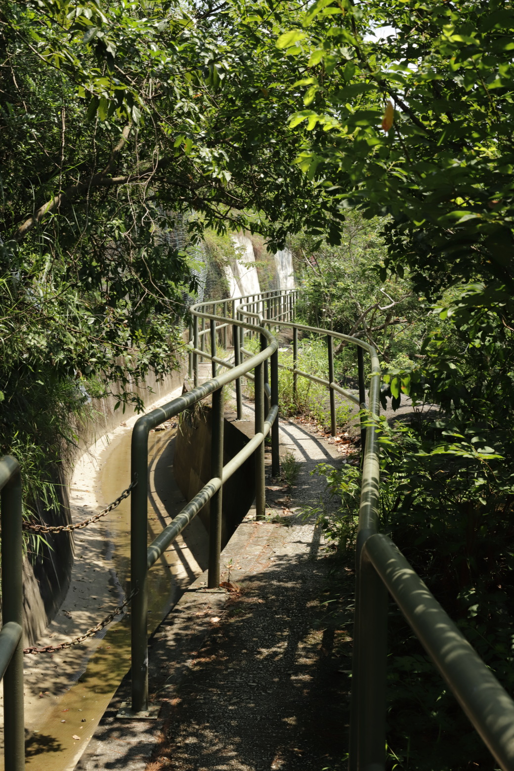
At one point on the trail, you'll have a perfect view over Aberdeen and surrounding areas. Moving on, there are eventually some small stairs heading down to a small man-made canal. When you get down to the canal, turn left and follow it.
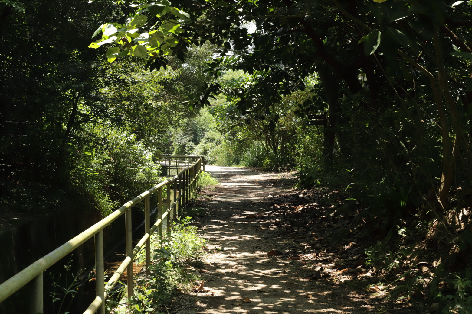
You will now walk away from Aberdeen, heading inlands. Before the section is over there is a crossing over a small dam. A short distance thereafter is the end of section 2.
I went on to walk section 3 right after this one, but there is a possiblitiy to just continue straight to Aberdeen and take transportation from there. The walk to Aberdeen should be around 15 minutes.
The highlight of this walk for me was definitely getting to see Aberdeen from a great angle. If you like forest walks, it also offers quite a bit of that but in that case I would recommend the following section, section 3 instead. The hike is of medium difficulty mostly because of the descent towards Aberdeen where the trail can get a bit narrow while steep on the sides.