These photos were taking along the section 1
of the Hong Kong Trail. Click on a photo to open a larger copy in
another tab/window.
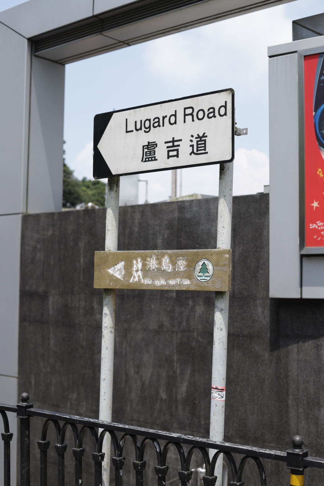
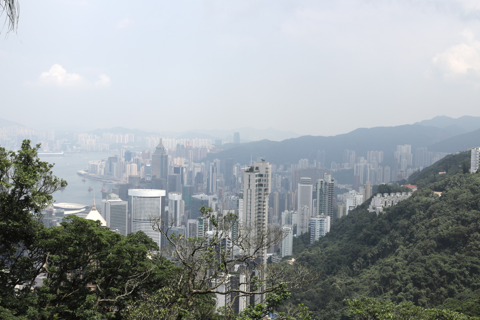
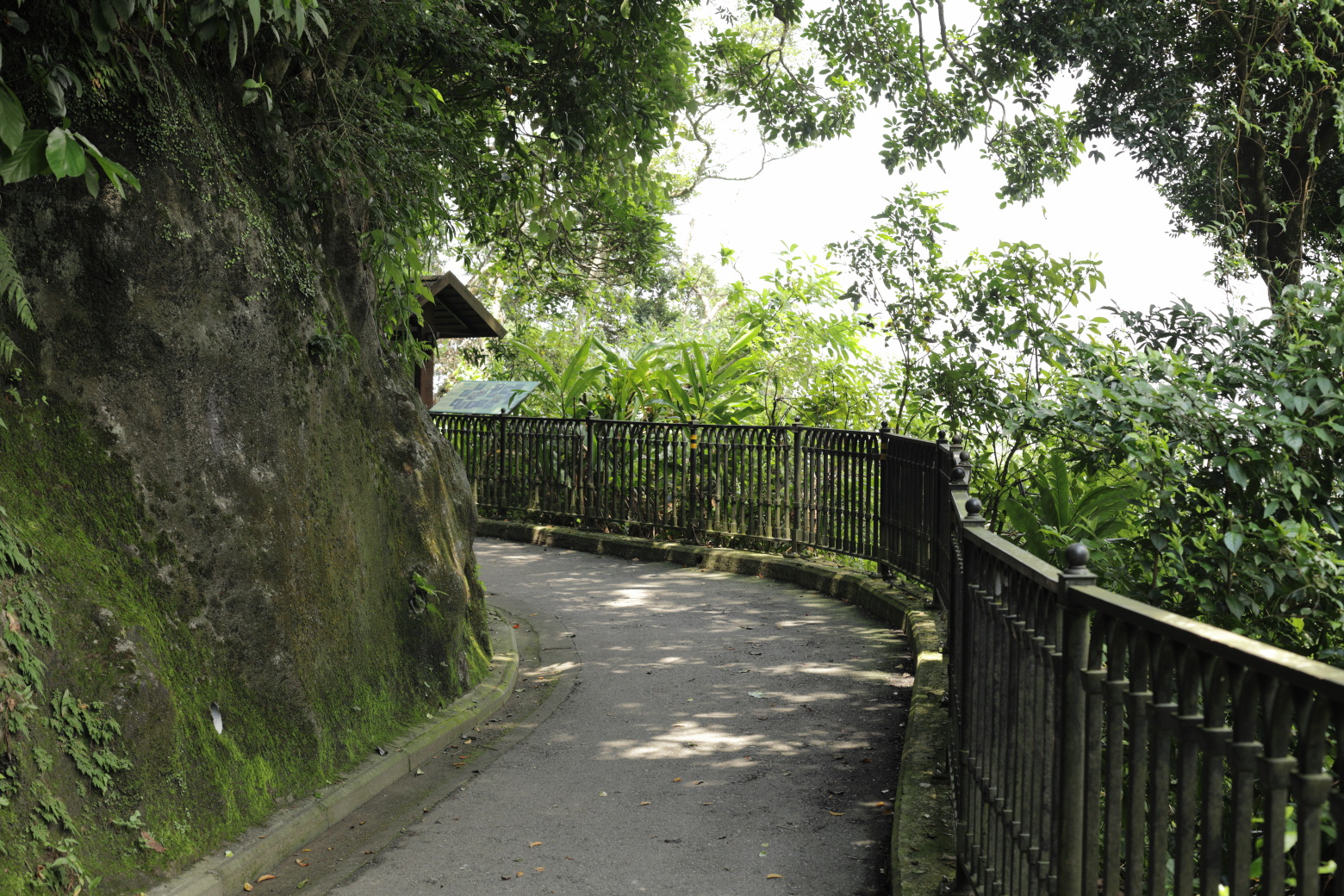
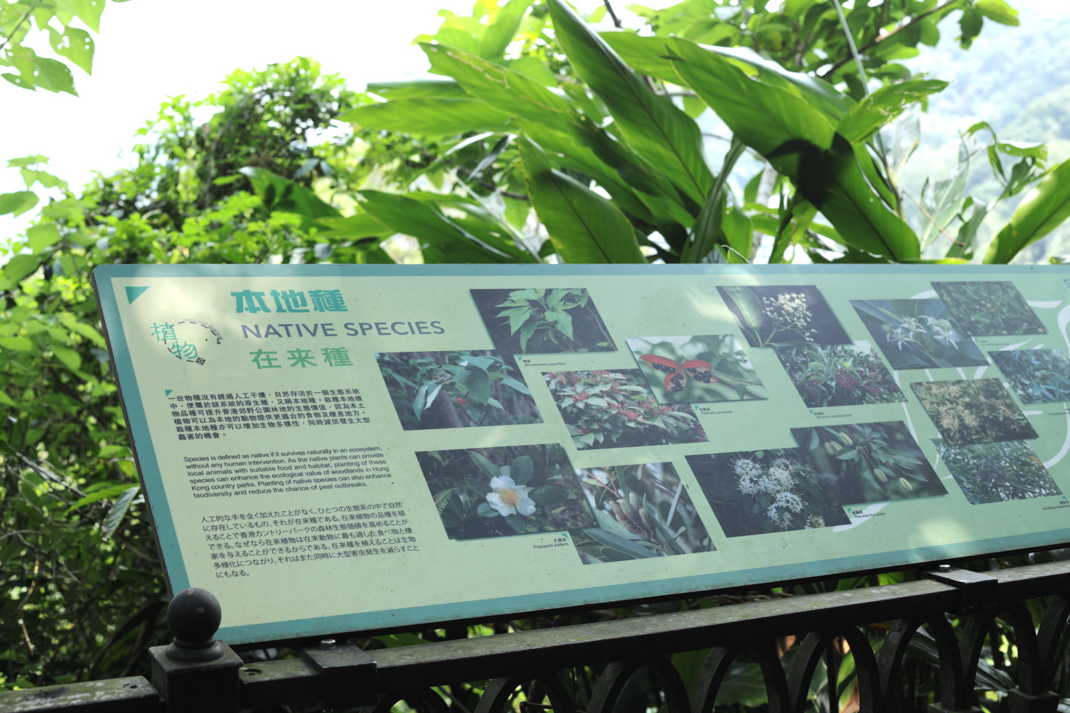
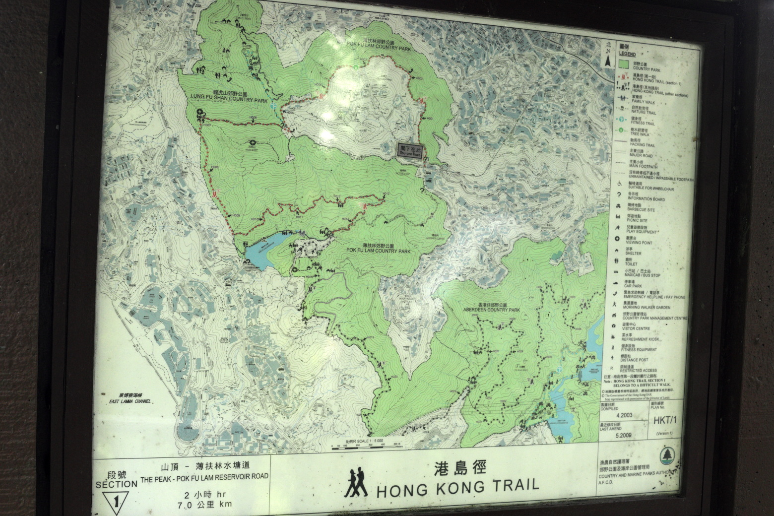
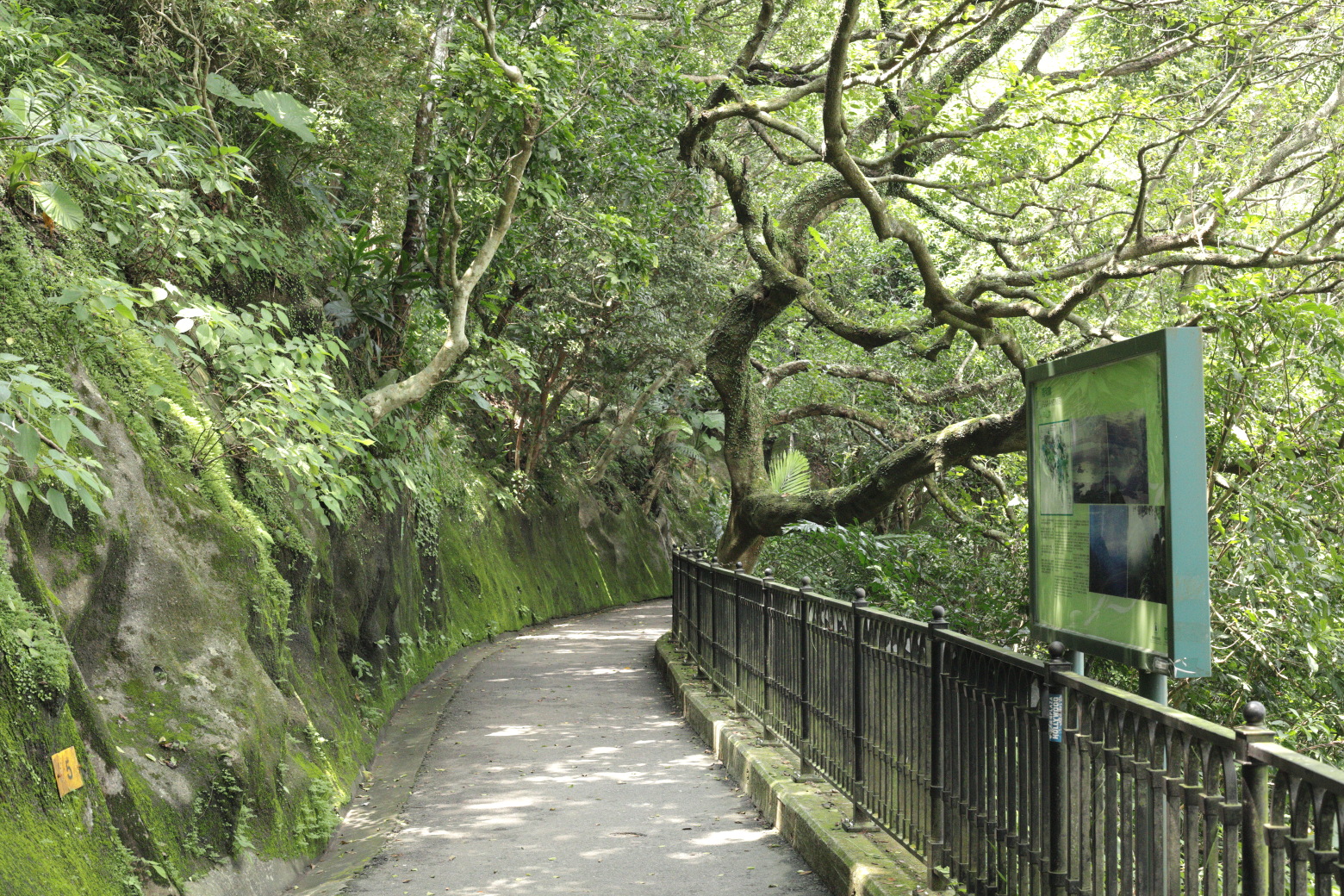
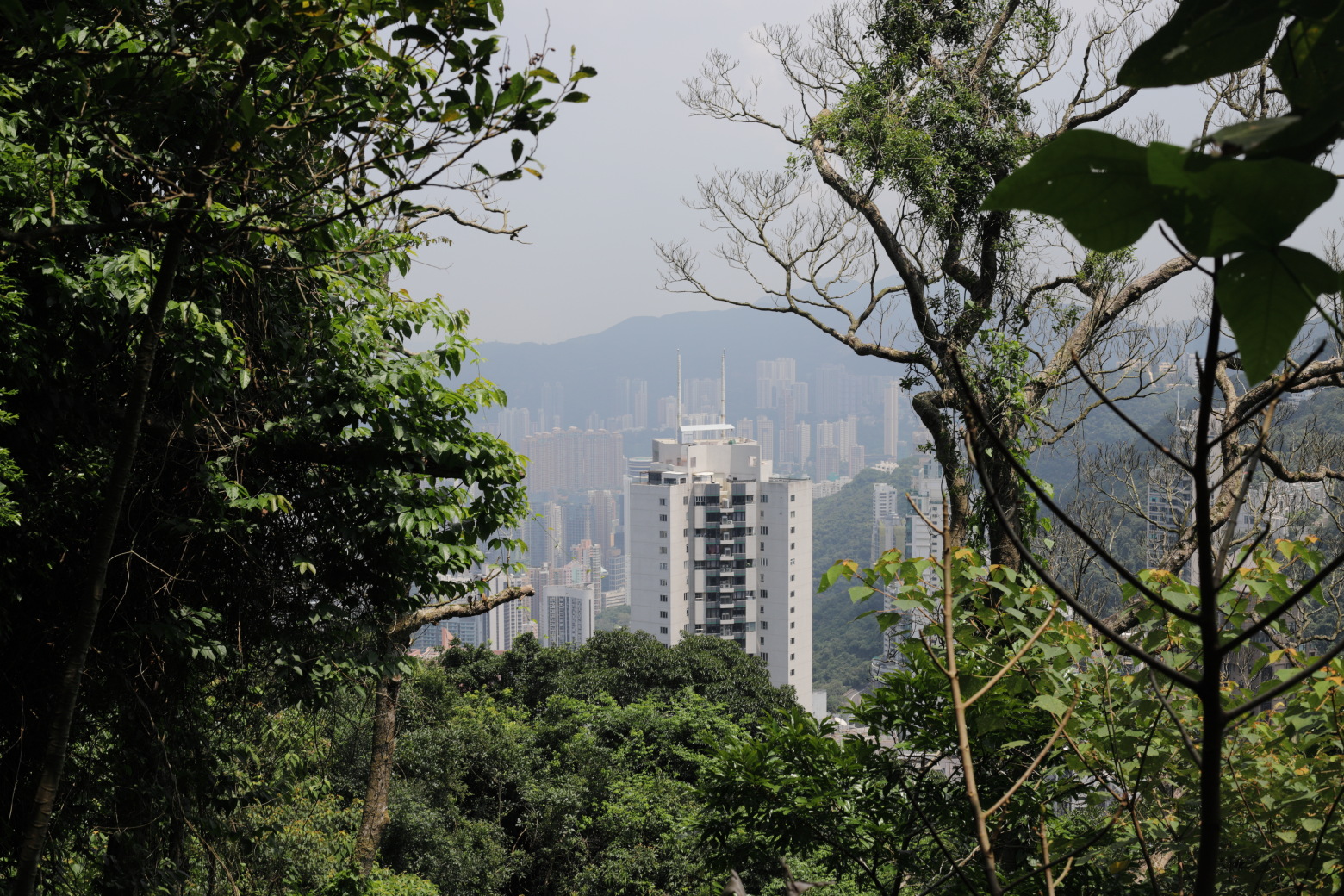
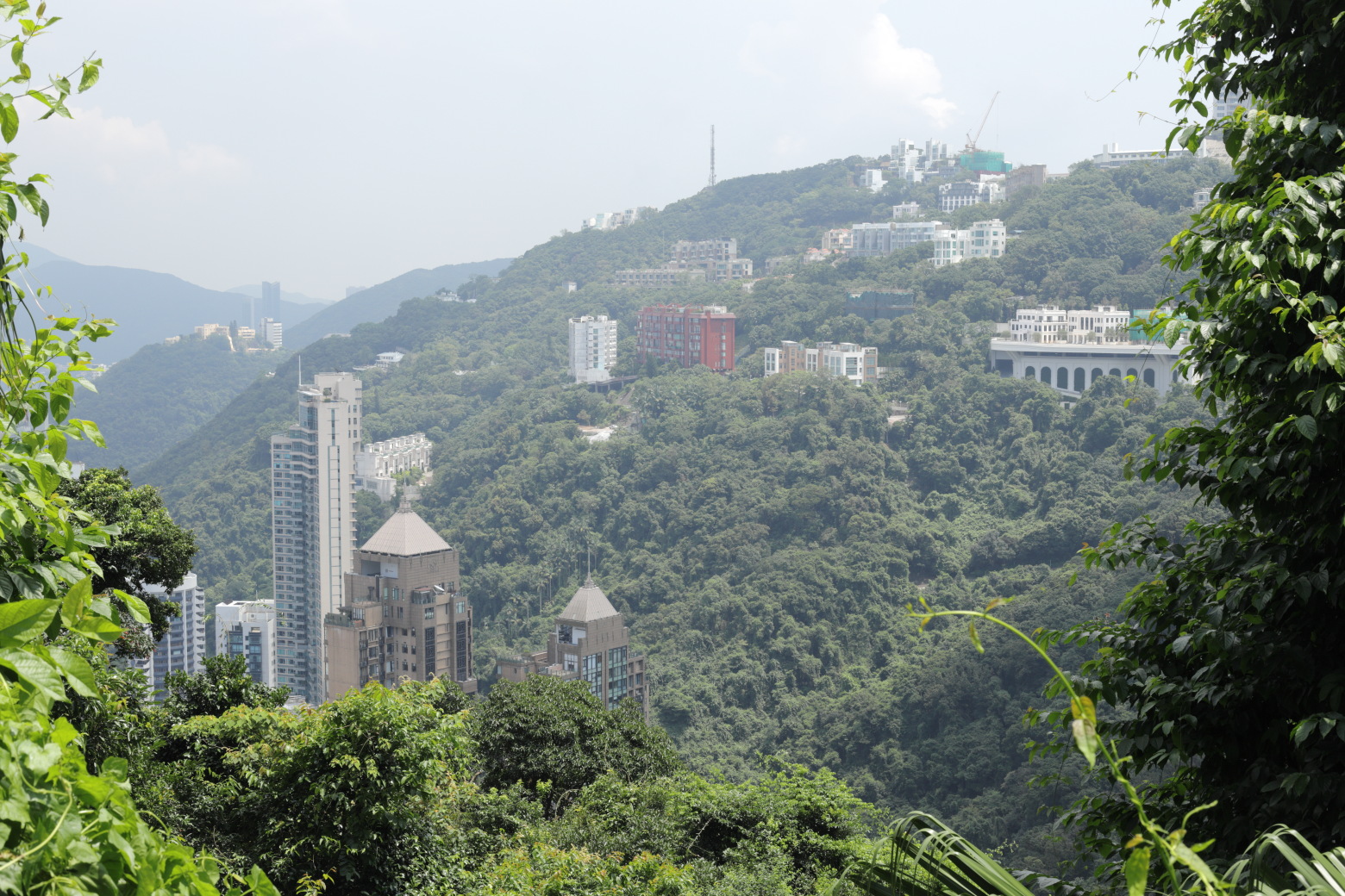
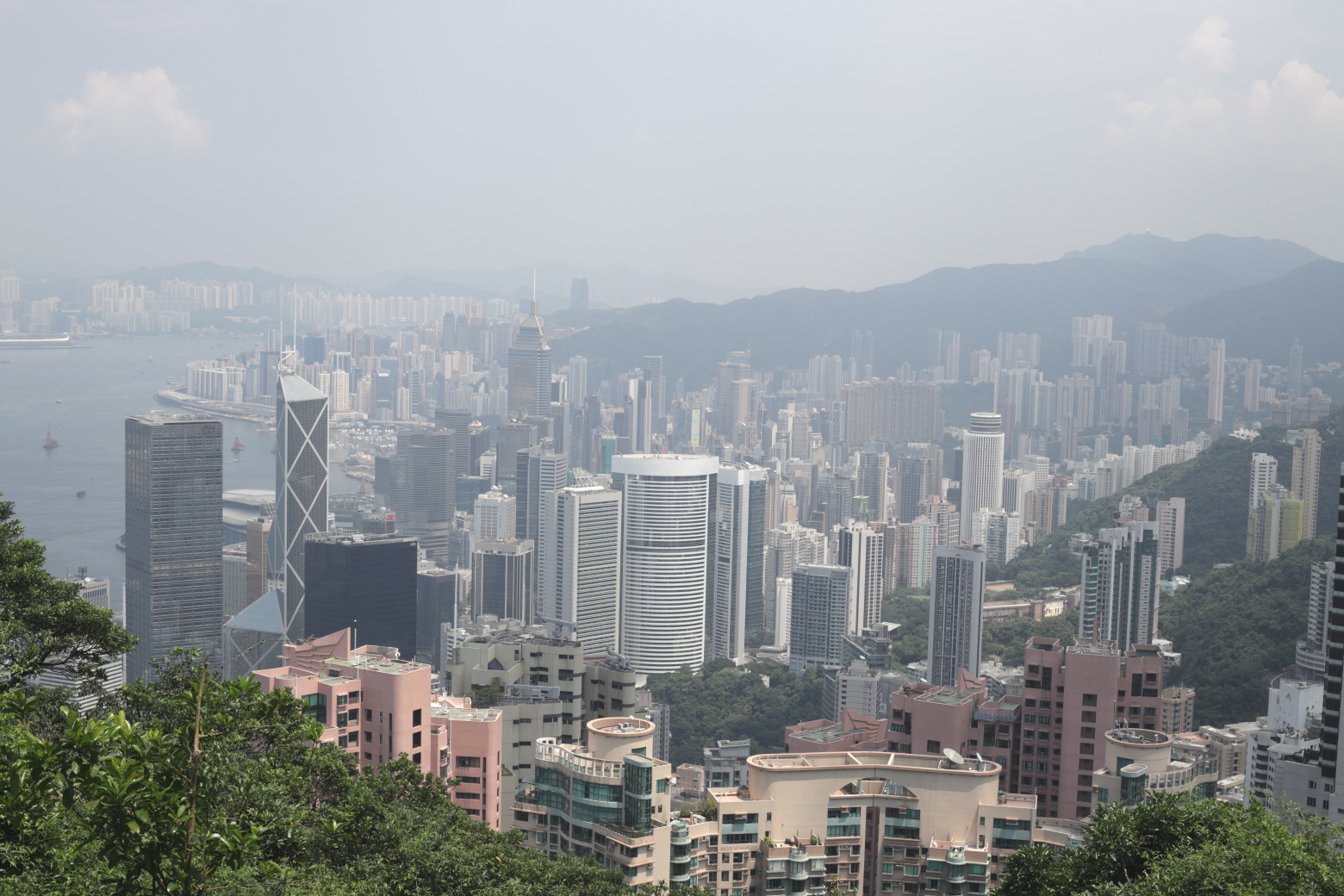
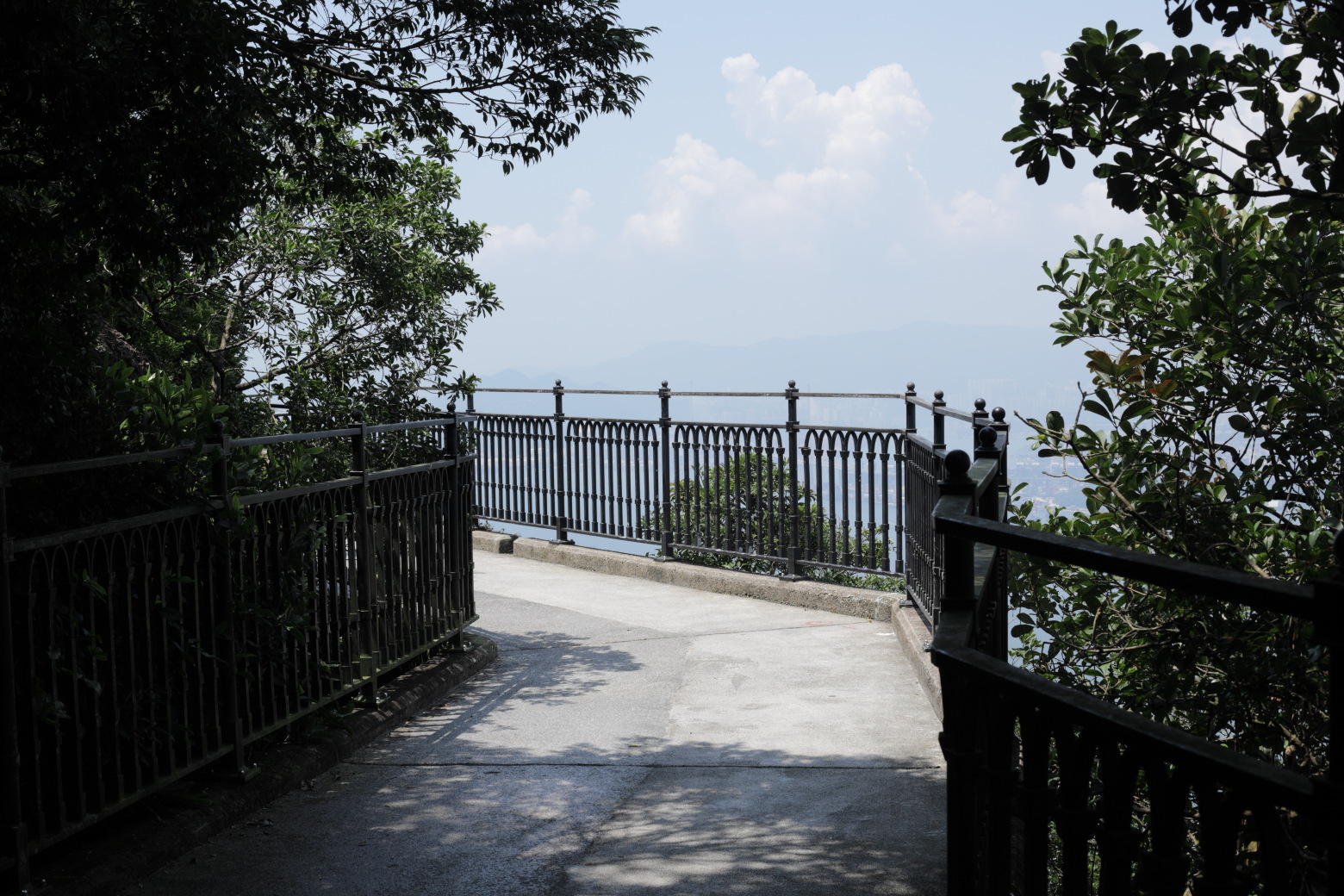
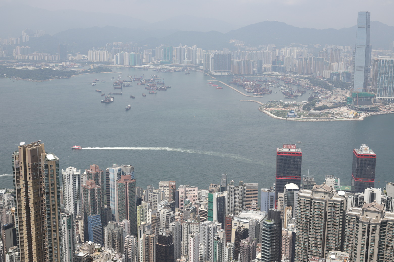
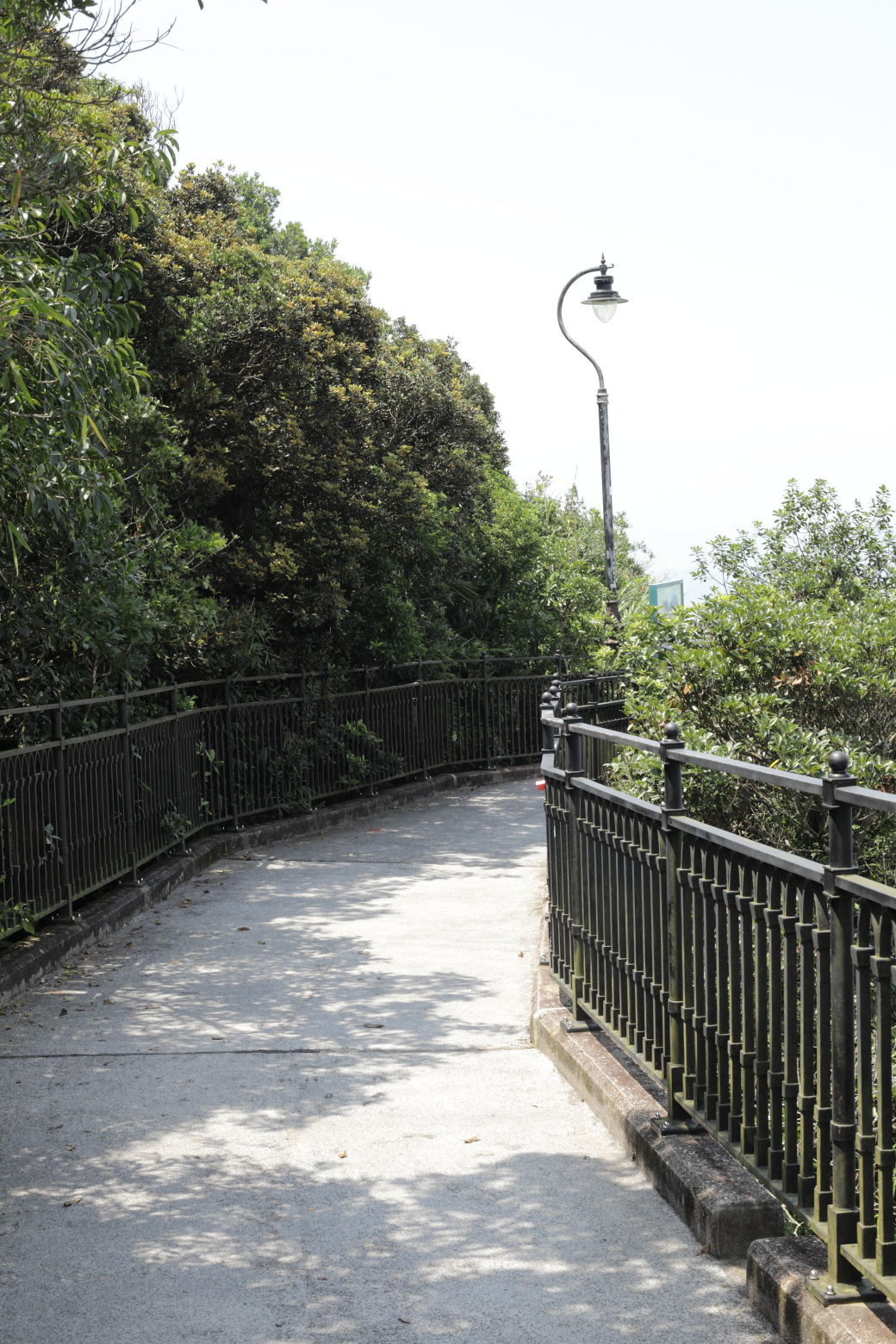
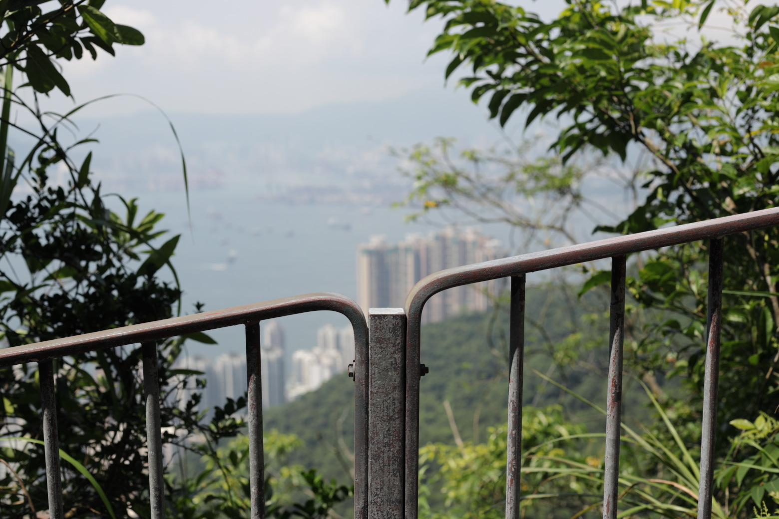
This is the start of the Hong Kong Trail.Looking towards the east from Lugard Road.Lugard Road.Along the road are plates describing local flora & fauna.The map shows the first few parts of the Hong Kong Trail.There is mostly vegetation along the first part of the road.Sometimes you get a glimpse of the city through the forest.Looking back towards the peak.View to the east from the first vantage point.A couple of smaller roads lead up to the actual peak.Reaching the main lookout, with a perfect view over the
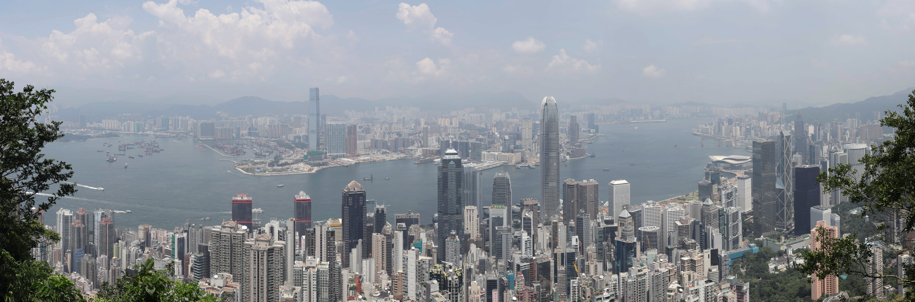
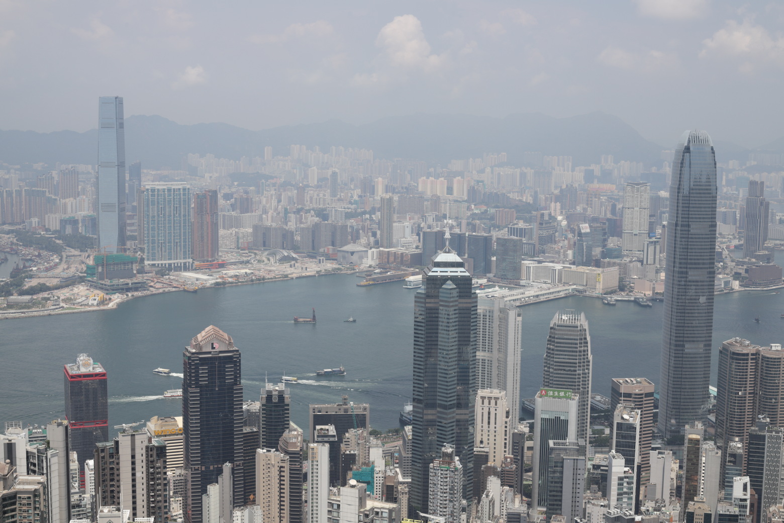
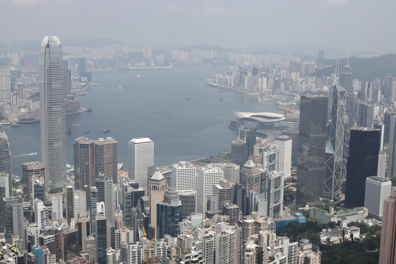
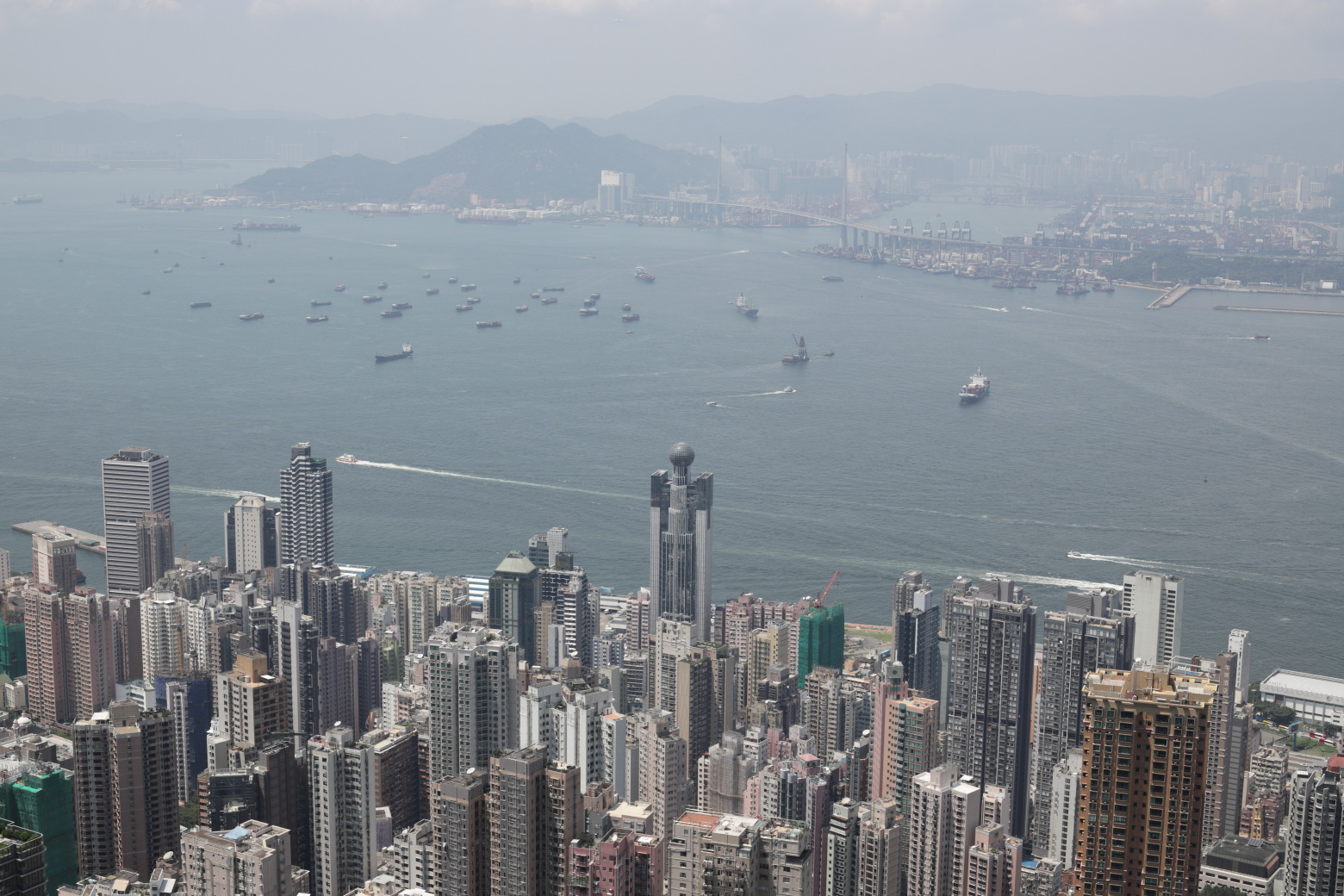
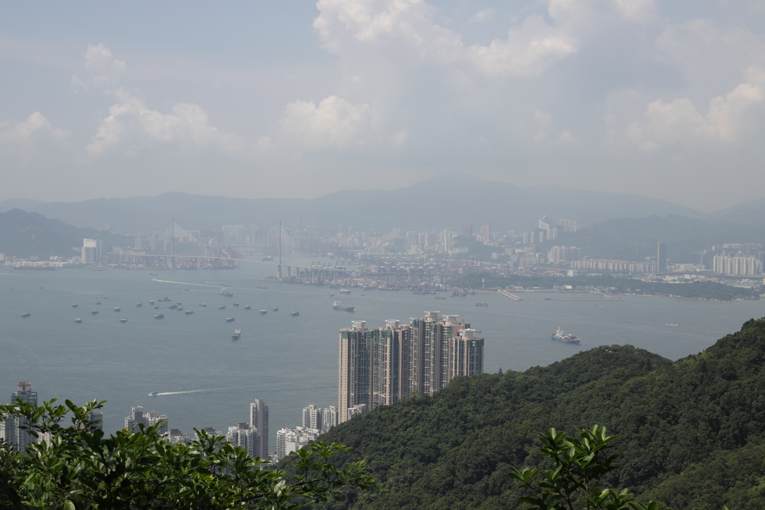
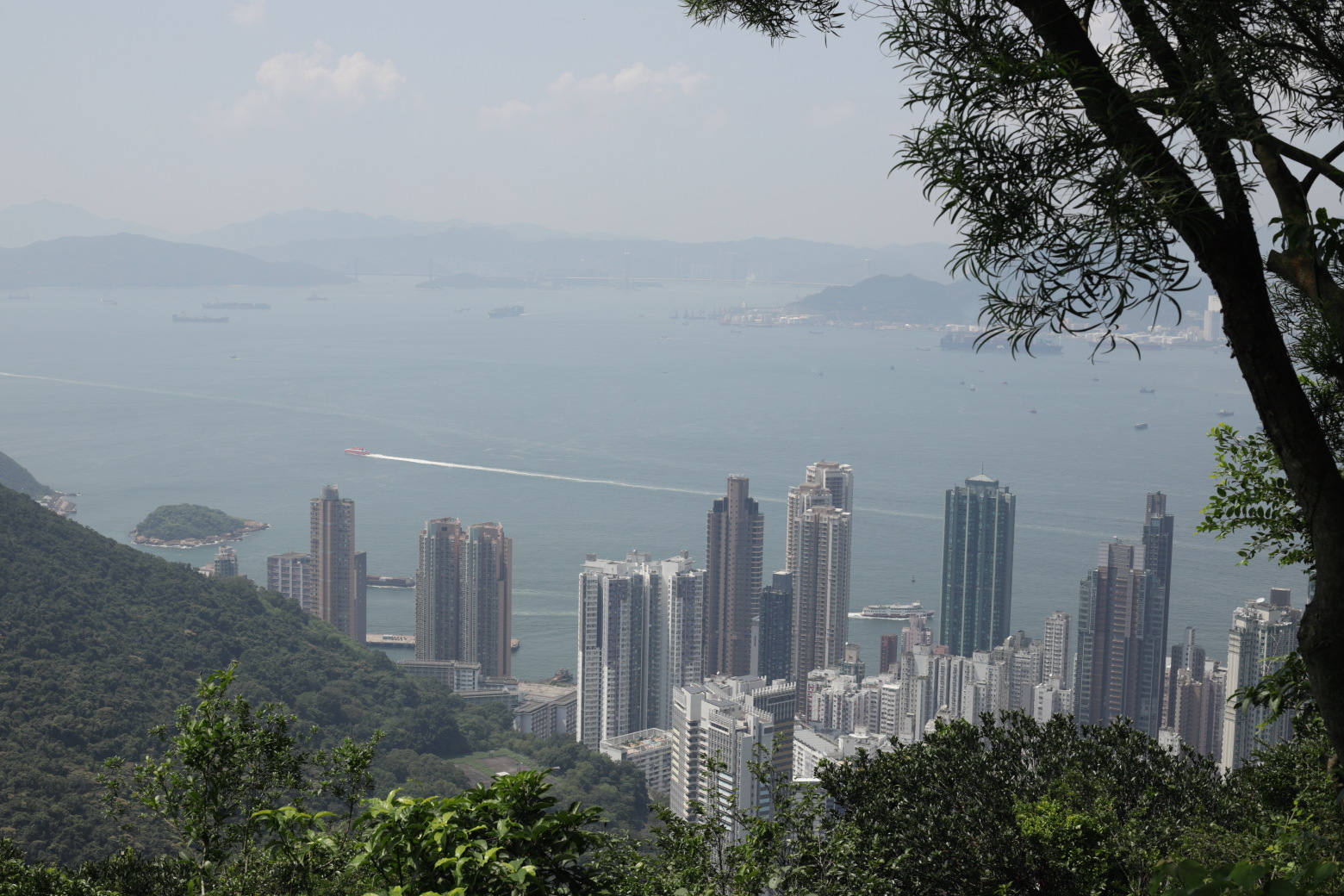
harbour.Victoria Harbour featuring ICC, The Center and IFC.The next lookout is not far away.Speedboat leaving Shun Tak Centre for Macau.Another angle of Victoria Harbour, featuring IFC, the
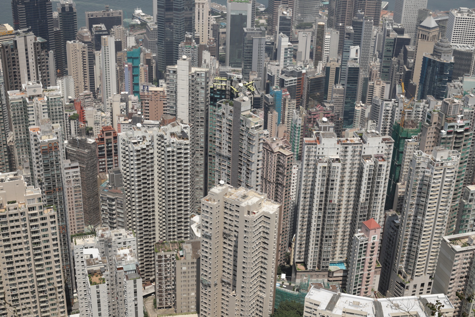
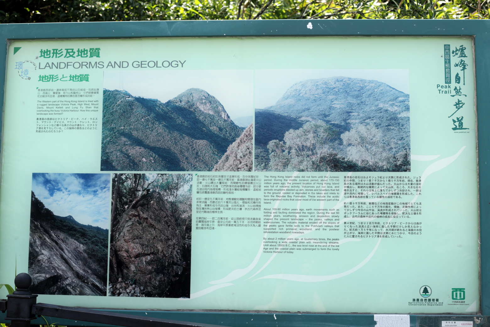
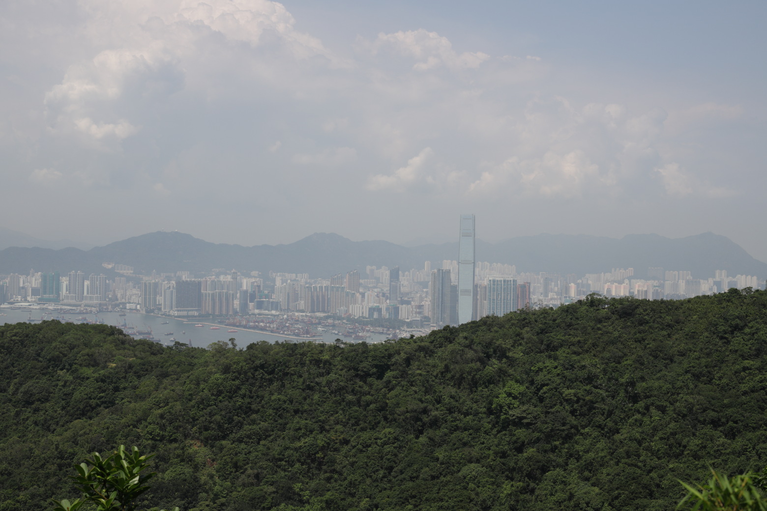
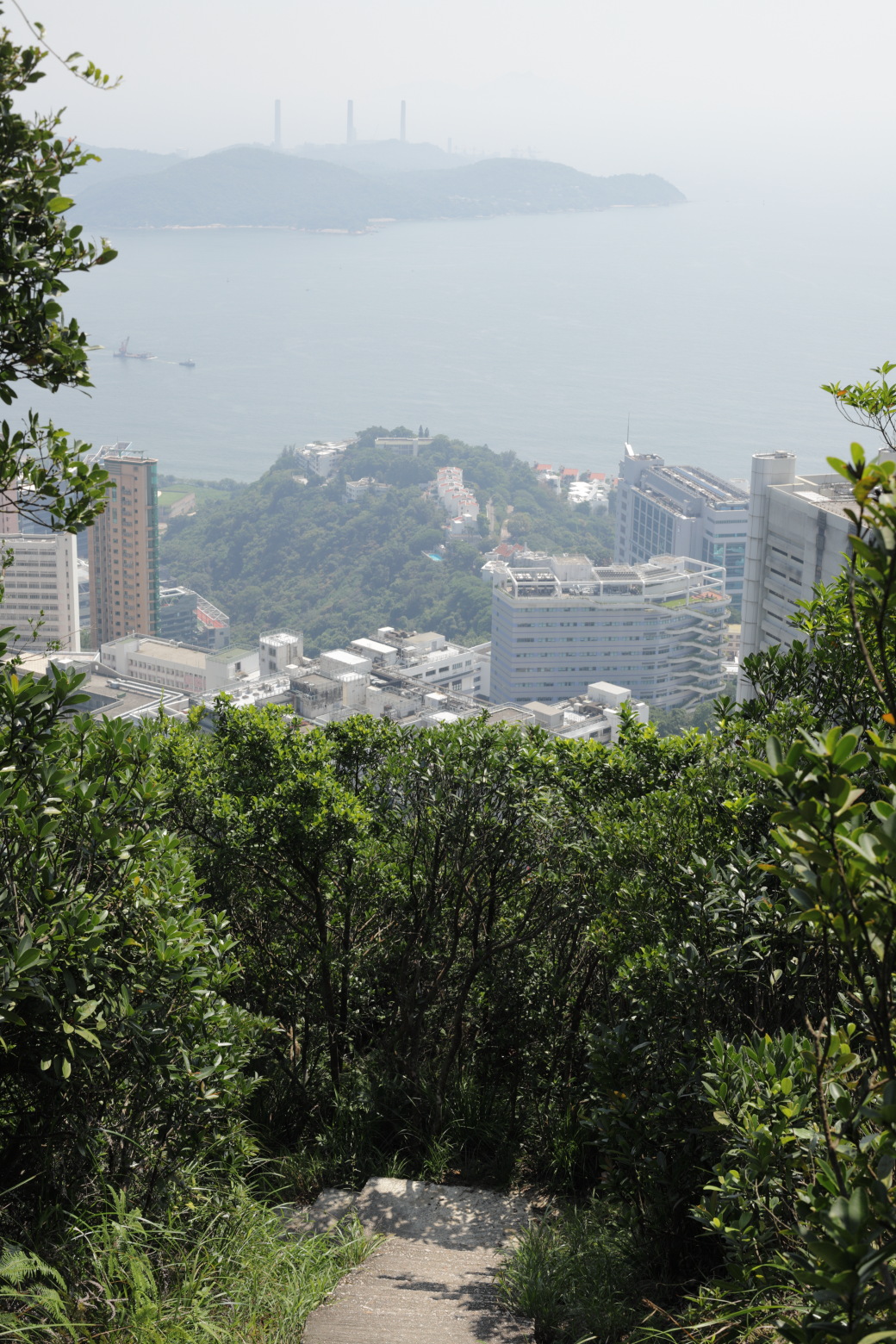
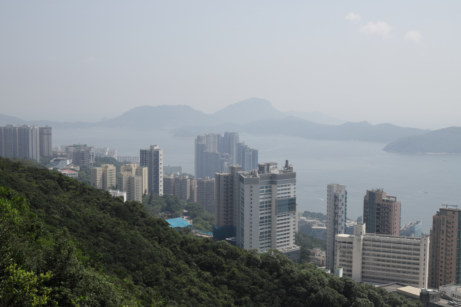
Convention and Exhibition Centre and Bank of China Tower.Concrete jungle.Continuing westwards.Plate informing about the geology of Hong Kong Island.Overlooking Sai Ying Pun, with Stonecutter's Bridge and
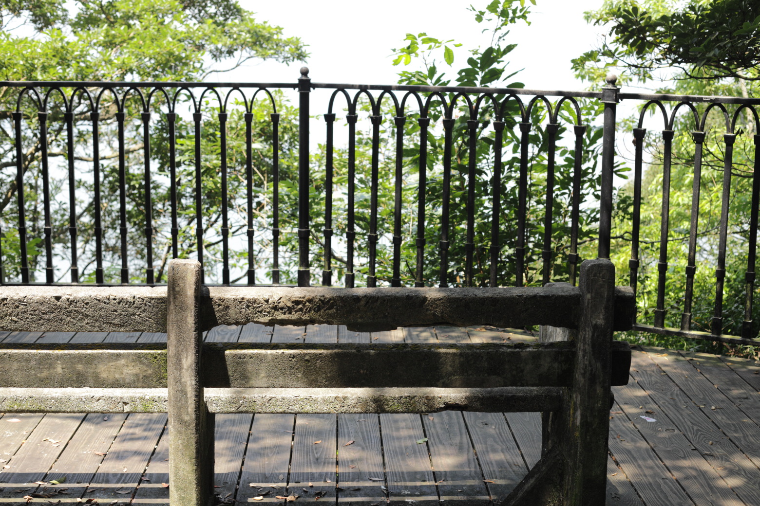
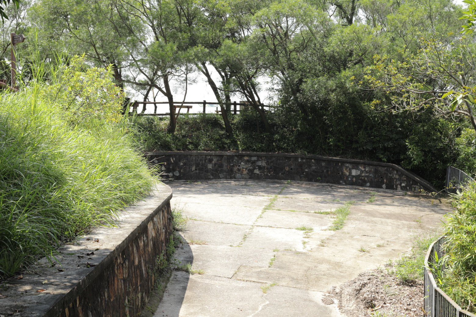
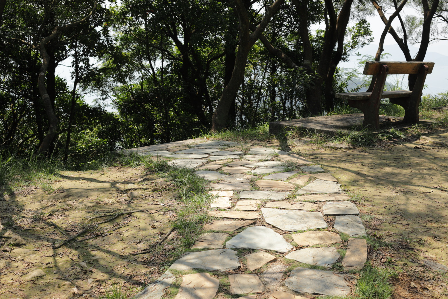
Stonecutter's Island in the background.A nice place to sit and listen to the sounds of a world city
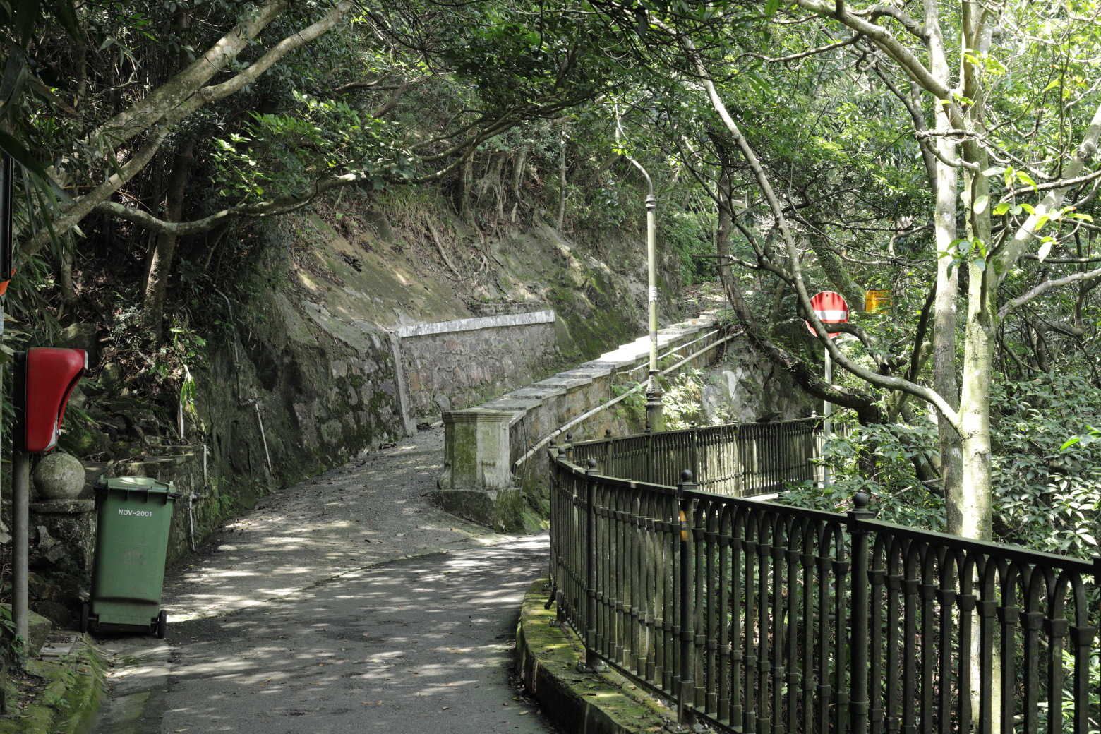
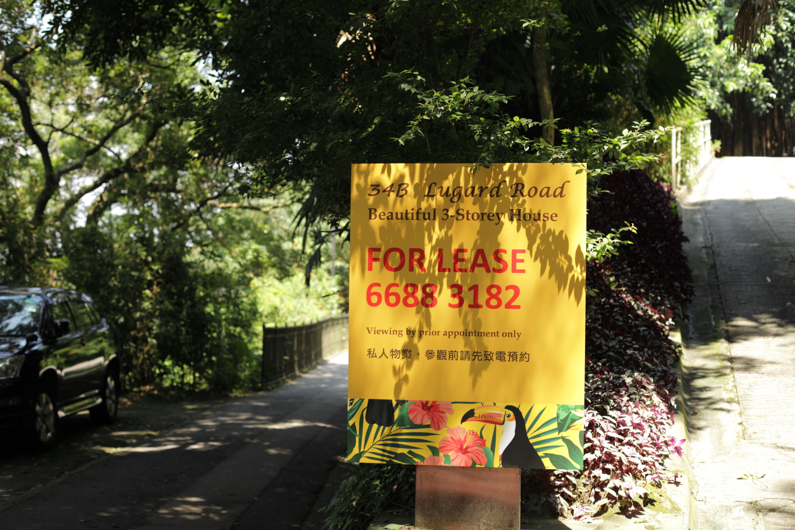
coming from below.Passing some residences. Probably not the cheapest 3-storey
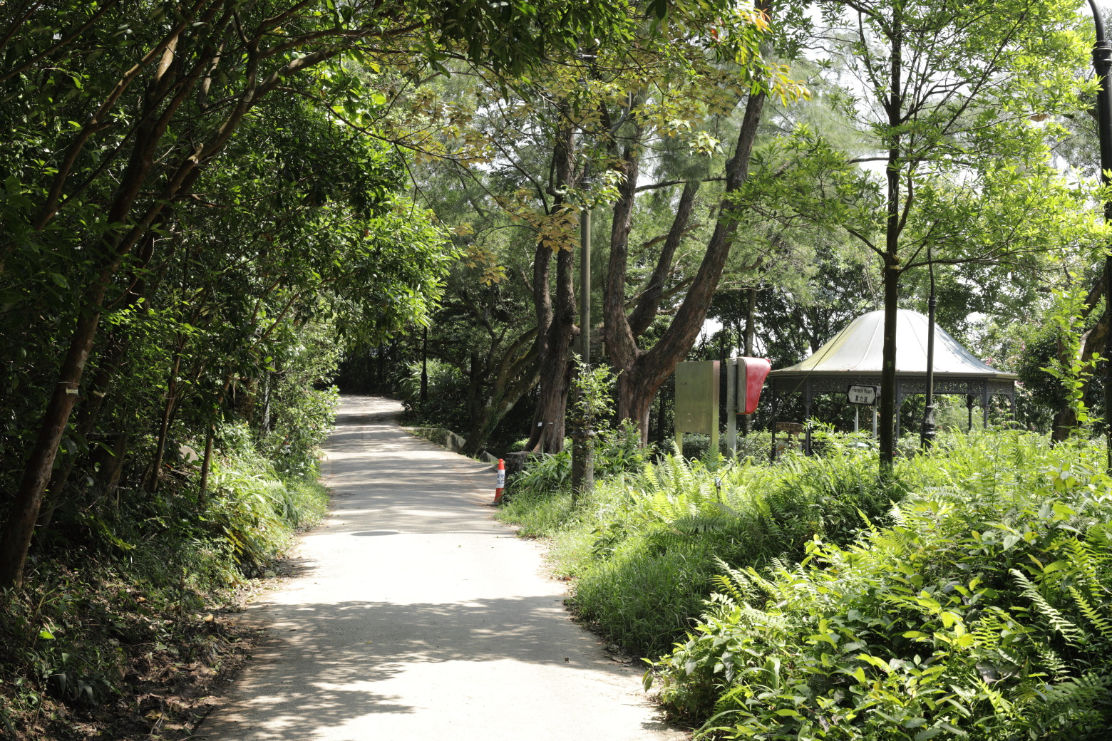
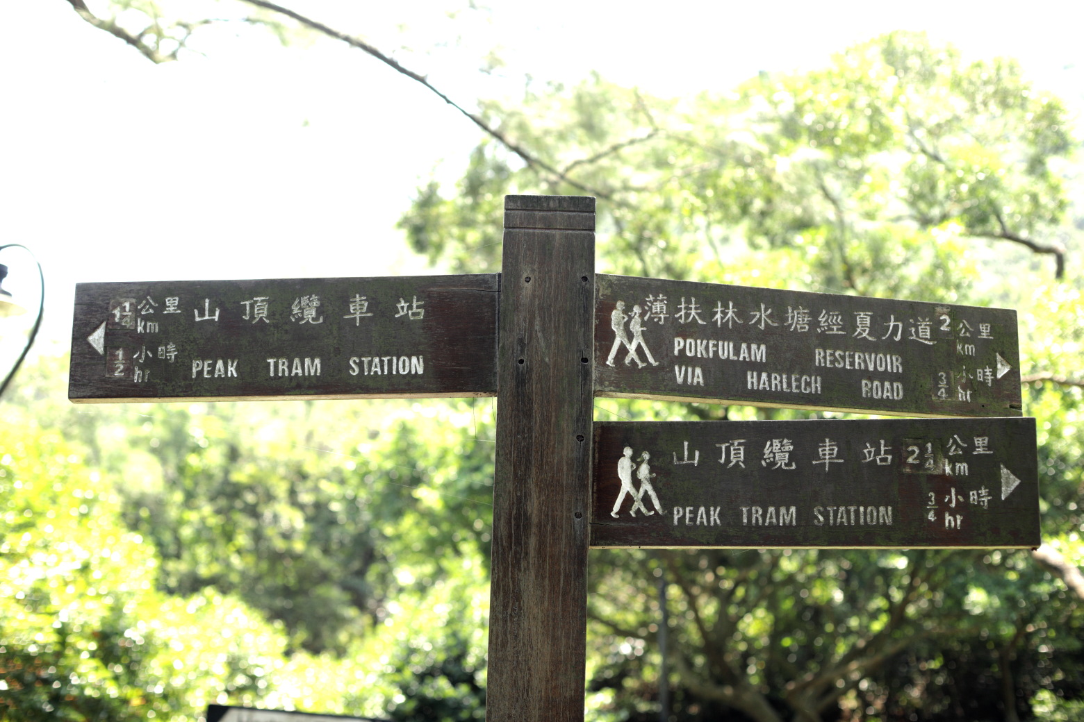
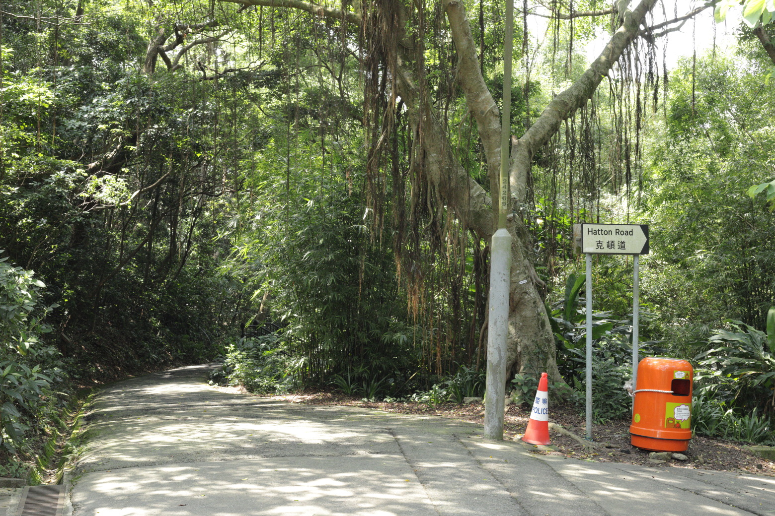
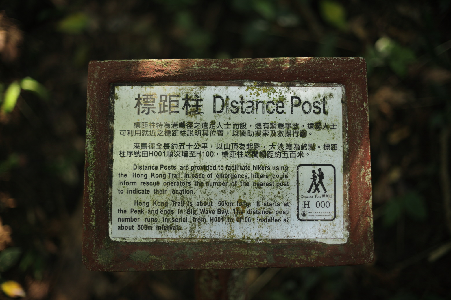
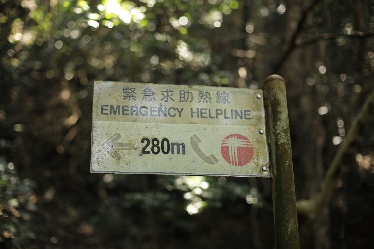
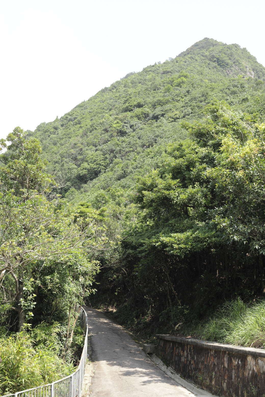
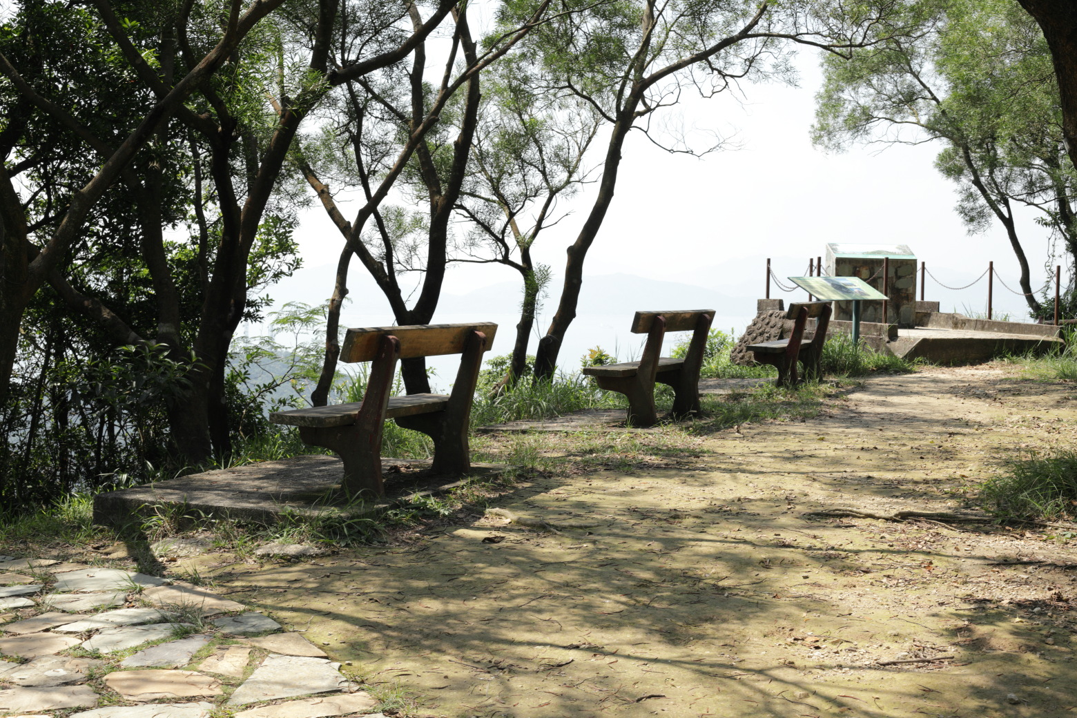
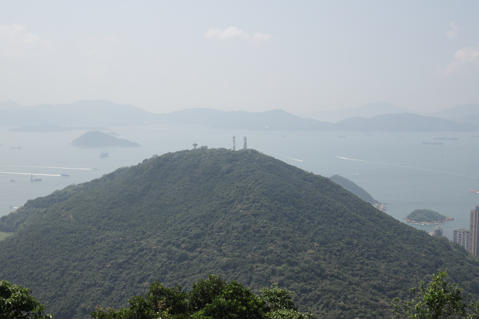
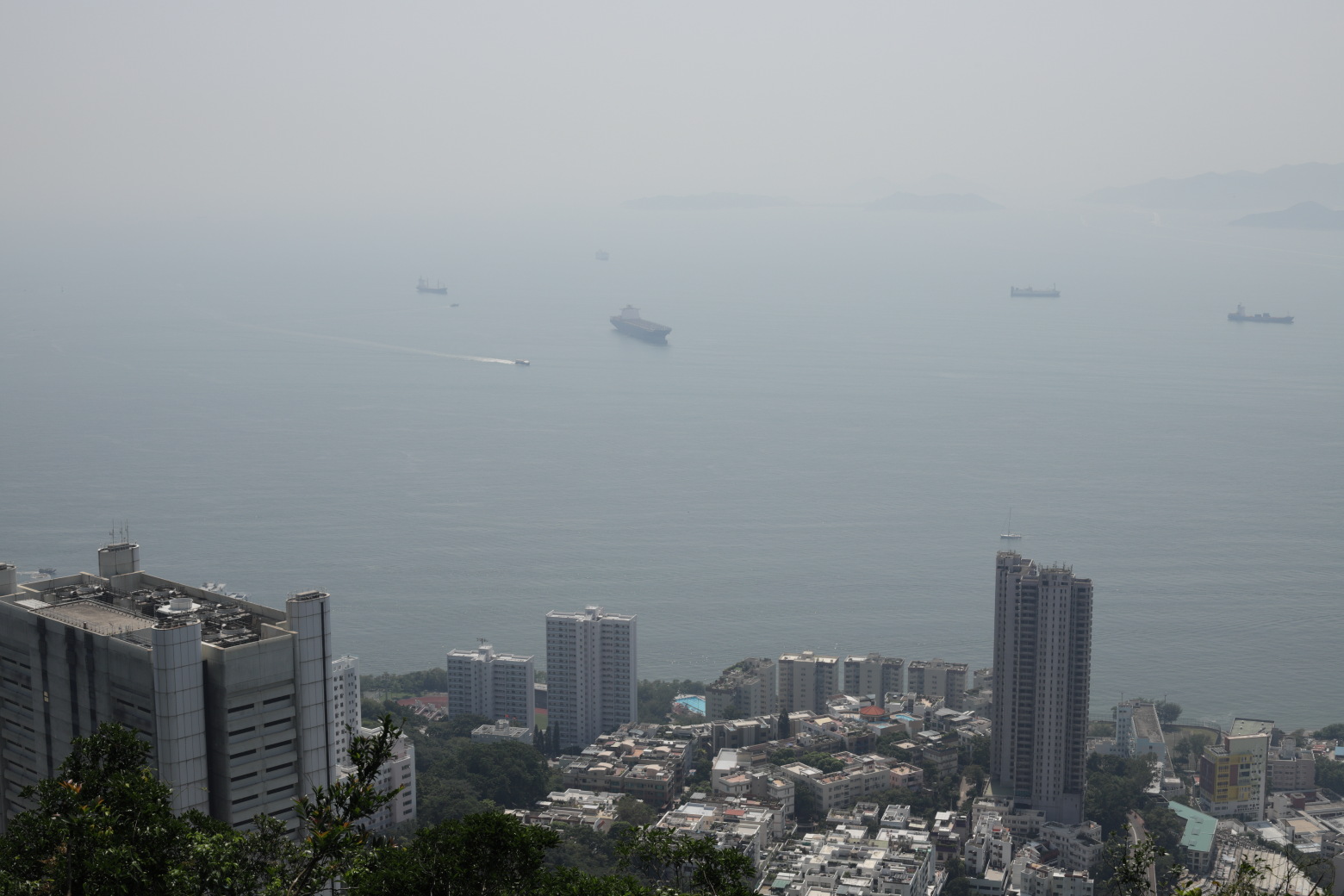
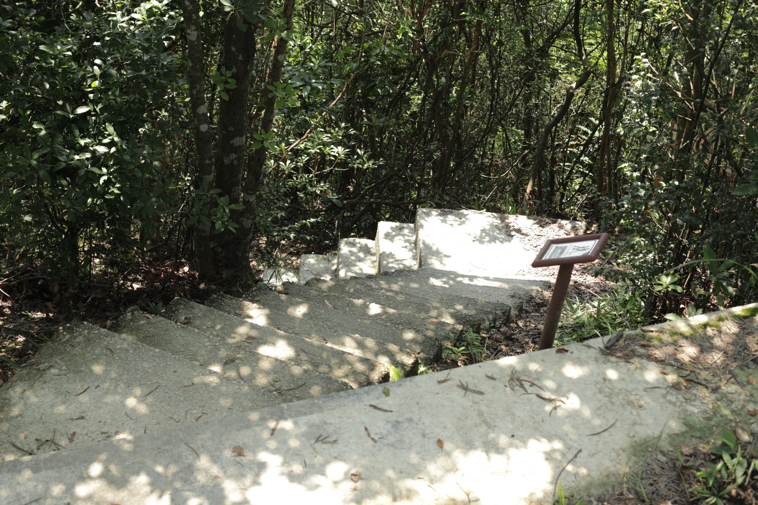
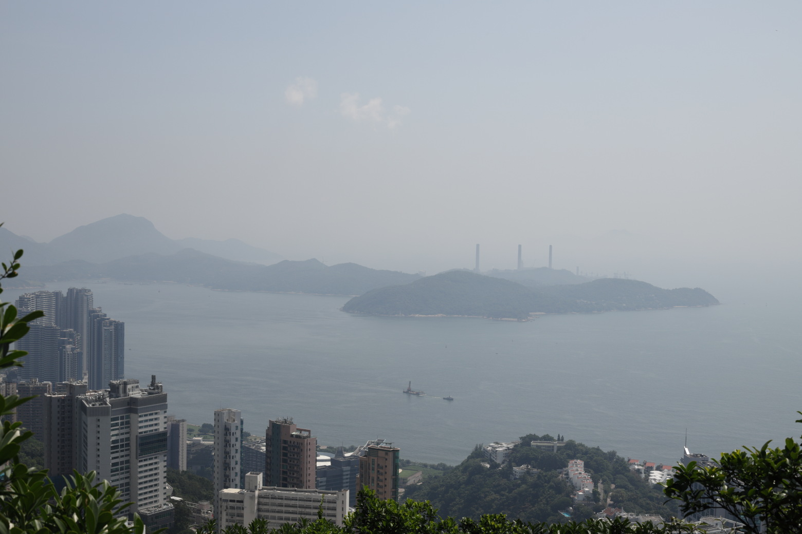
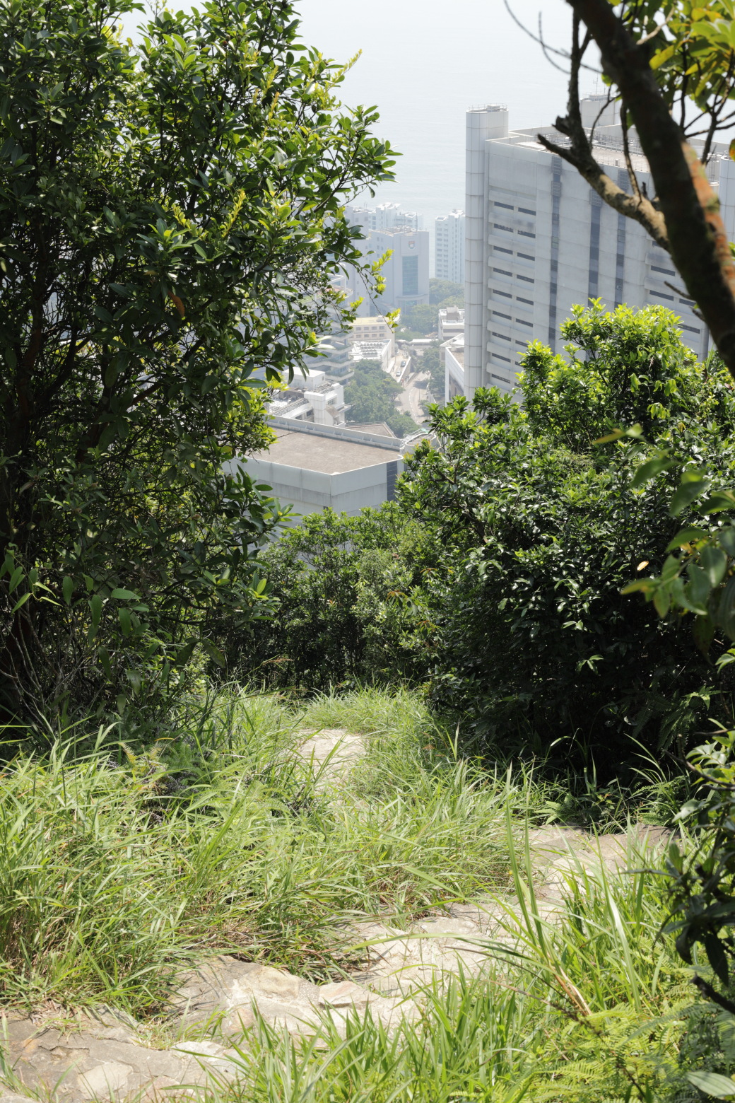
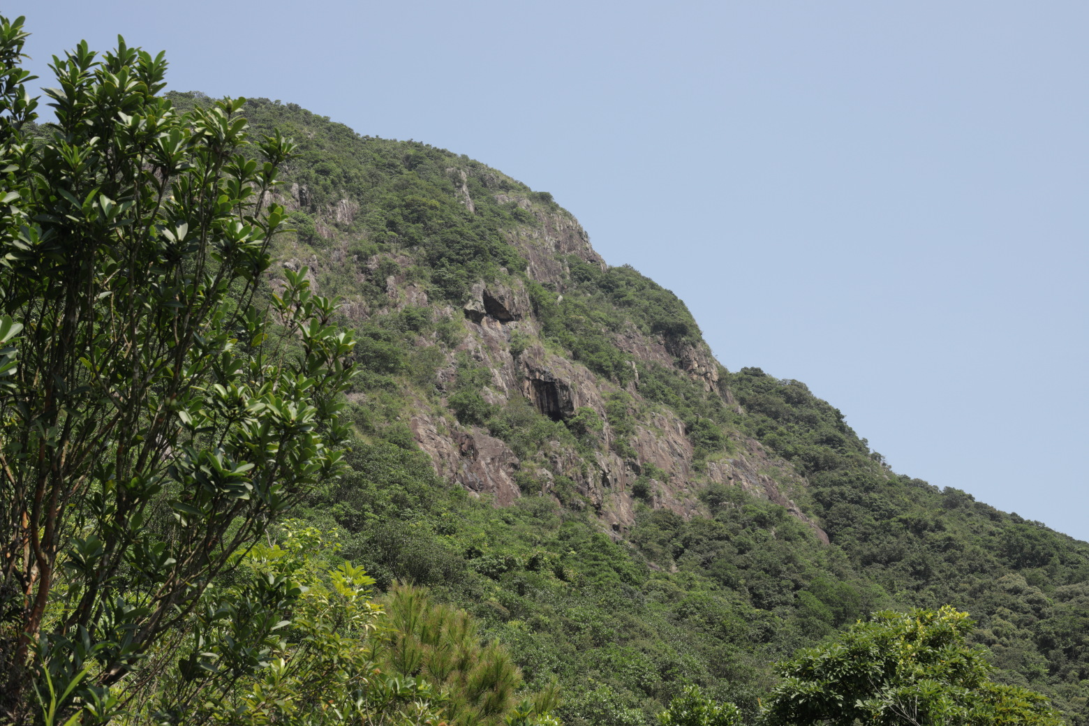
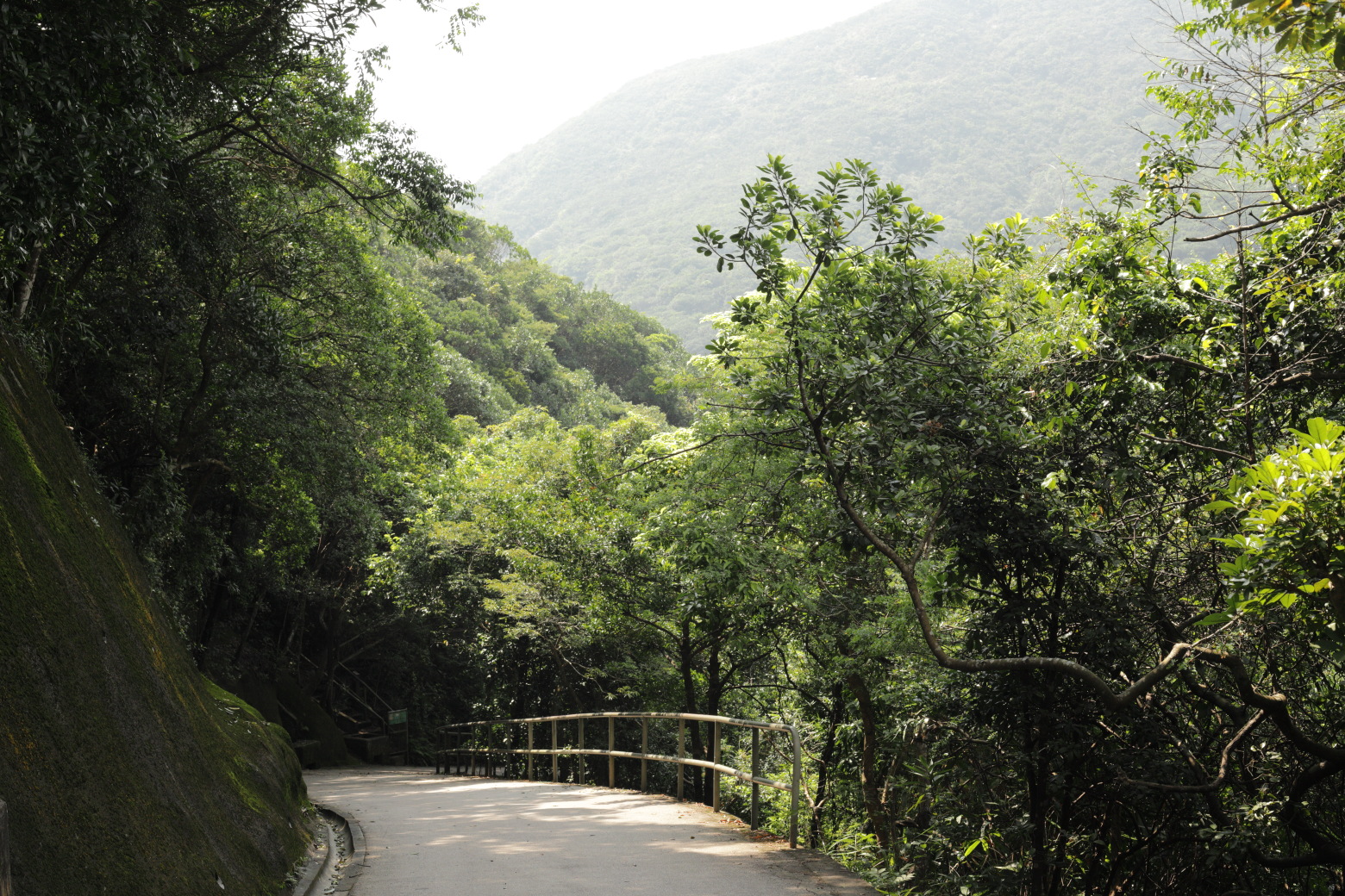
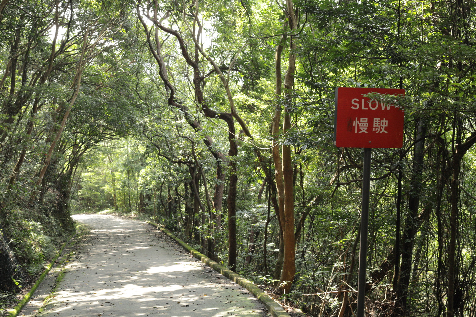
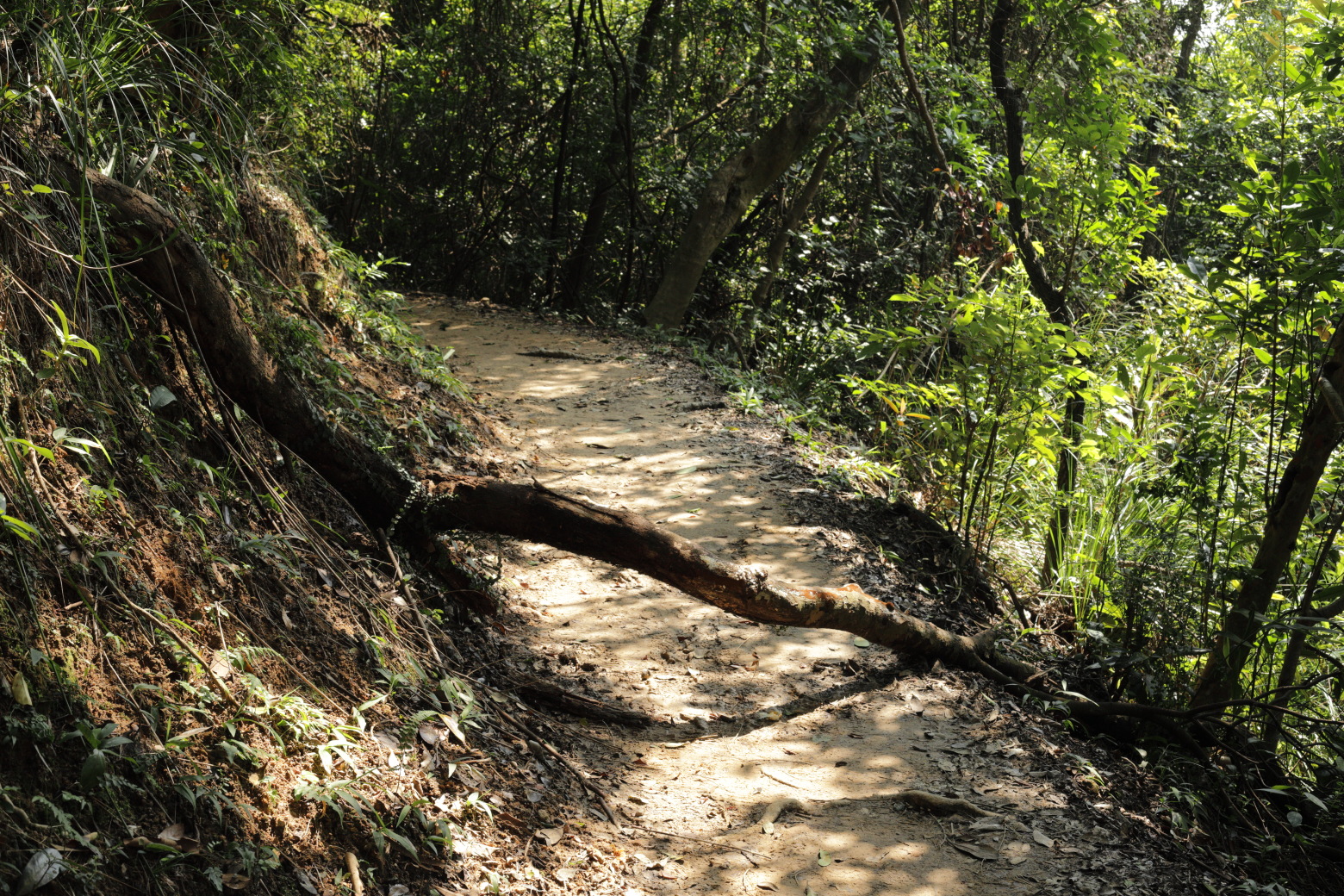
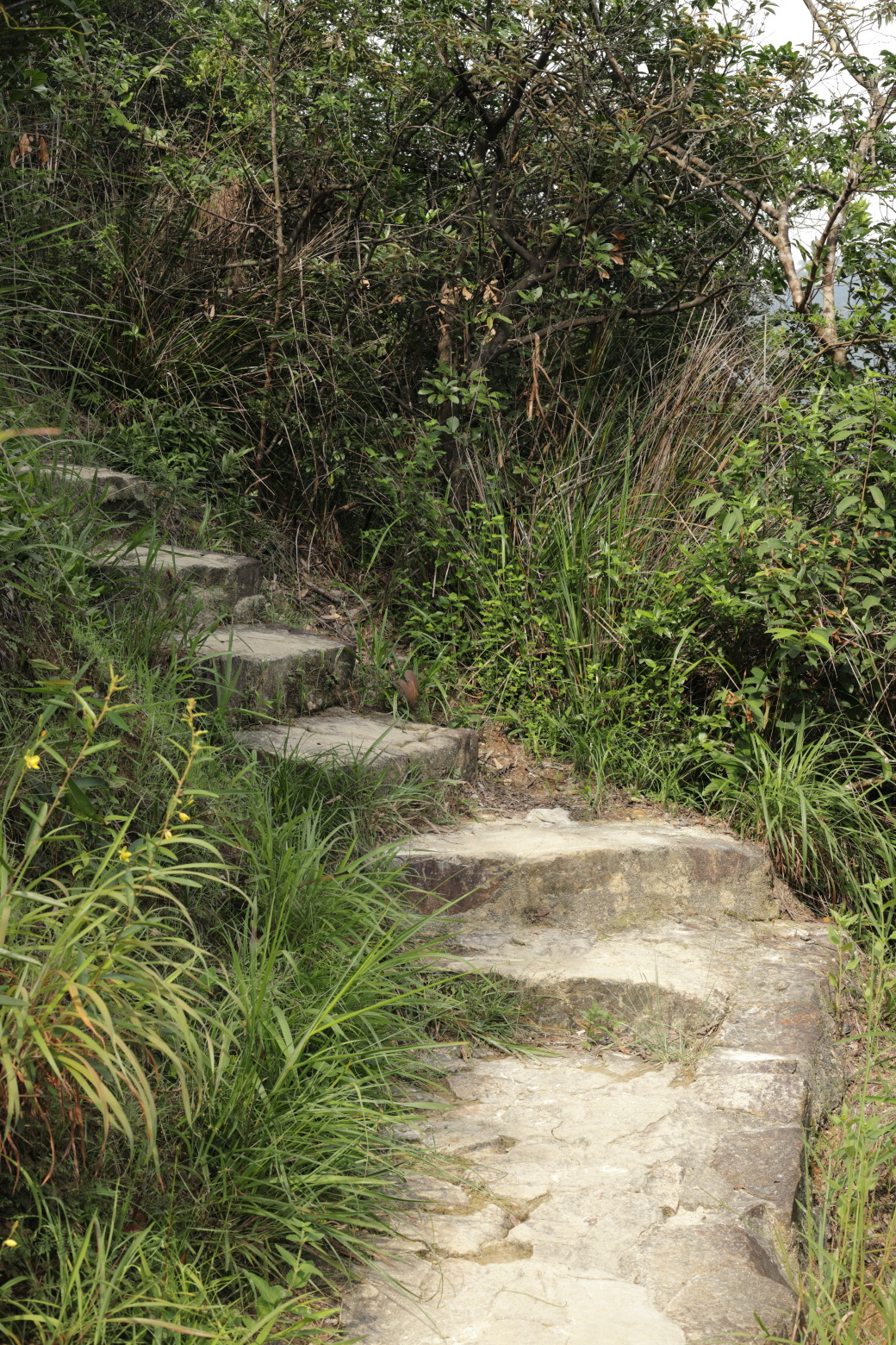
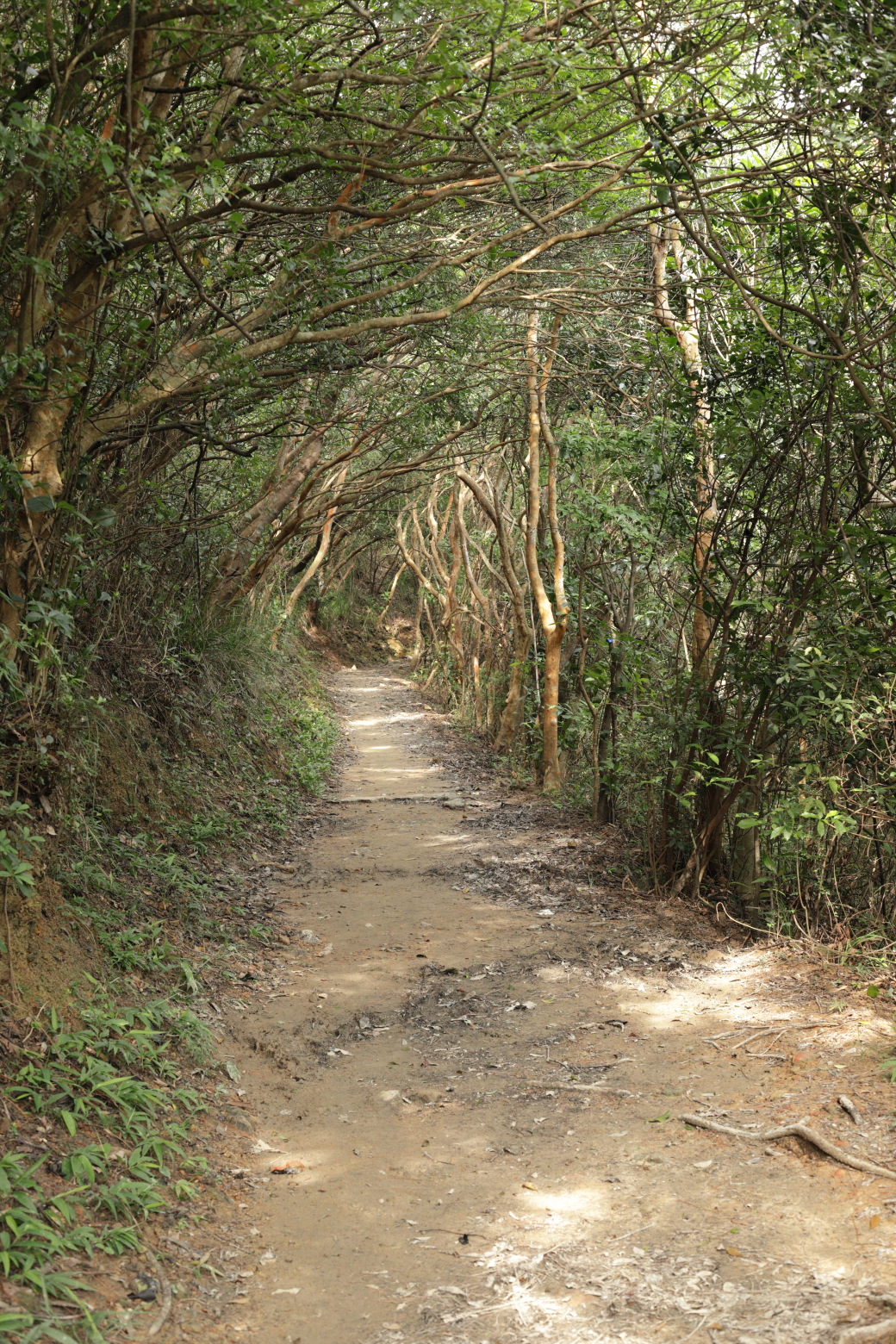
house for lease.Nearing the end of Lugard Road.Trail continues towards Pok Fu Lam Reservoir.Continue straight here.There are distance posts along the trail......and emergency telephones.Walking towards the other side of the mountain.The mountain overtaking the view of Victoria Harbour.Walking downhill.This is the end of the paved part of section 1.Looking back on Mount High West.A few benches by the Lung Fu Shan Viewing Point.Overlooking Kennedy Town and another Macau speedboat.Mount Davis.The horizon is barely distinguishable because of smog.Stones indicating where the trail continues.Stairs leading the way downwards.Trail gets rather steep. Lamma Island in the background.Lamma Island. The three chimneys belong to its coal power
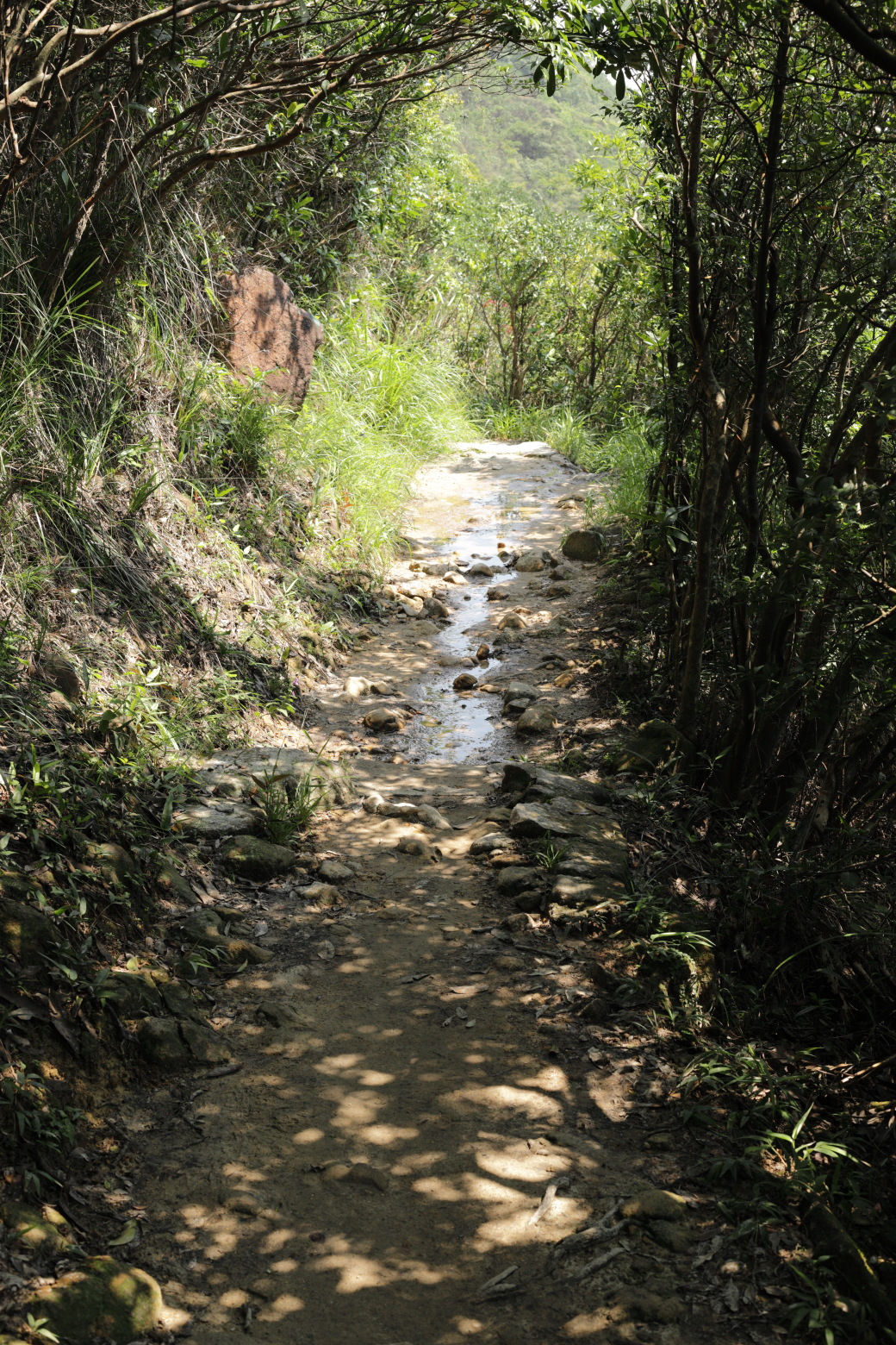
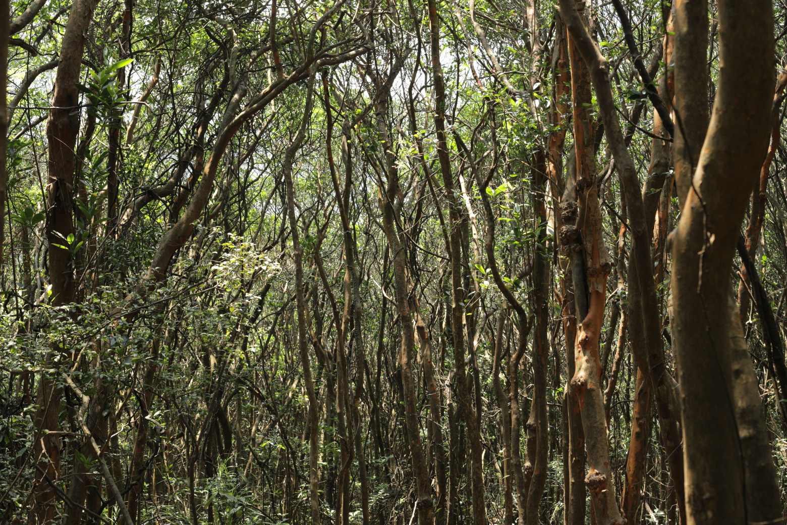
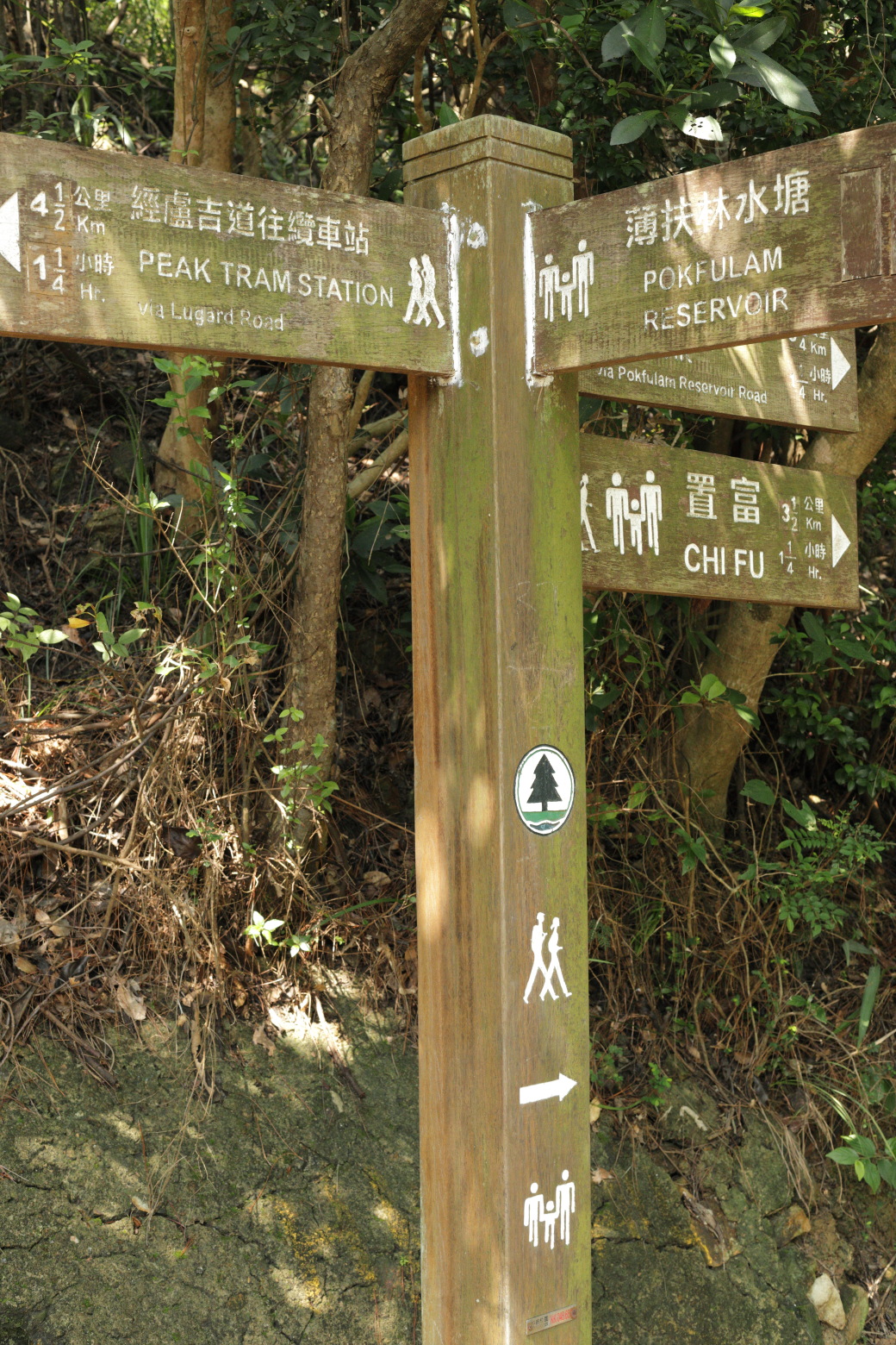
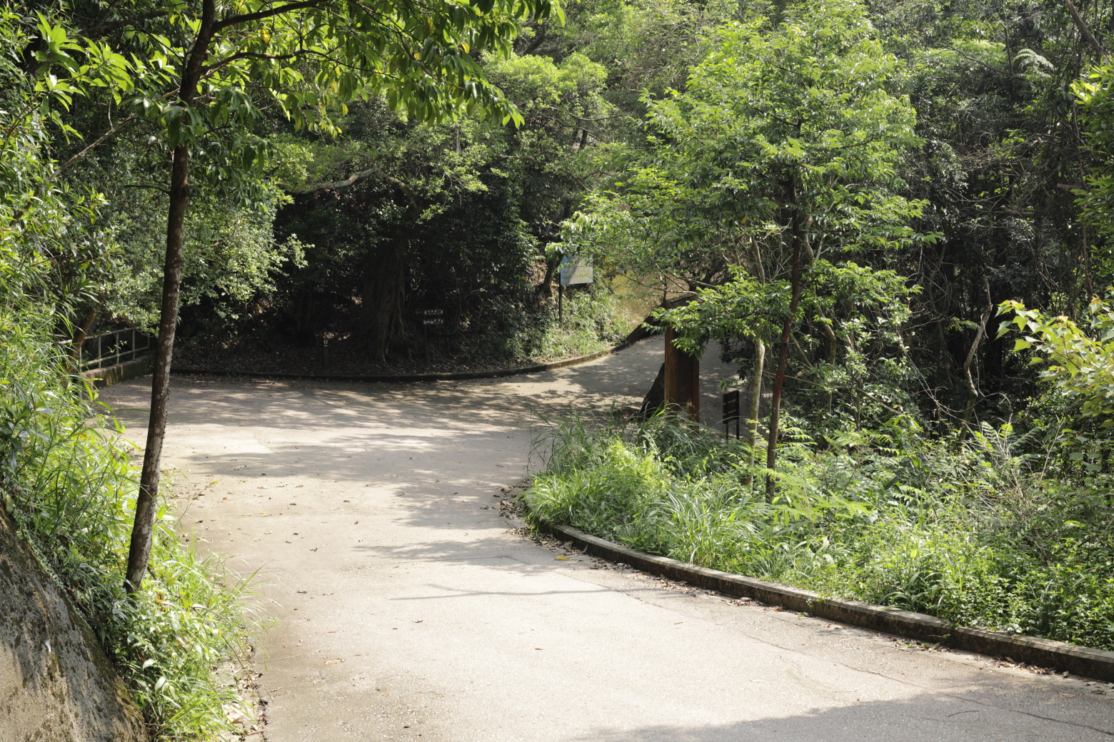
plant.Winding path downhill.Cliffs on the left hand side of the trail.Overlooking the western parts of Hong Kong Island.Even on a sunny day, the trail can be a bit wet.Dense forest on the right hand side of the trail.A choice to go either down to the reservoir or continue the
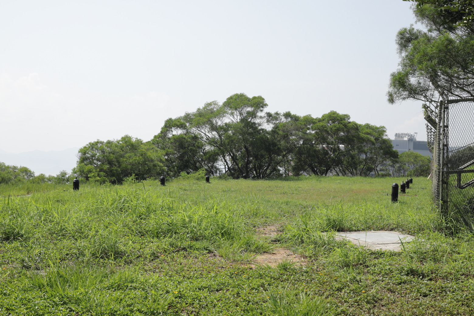
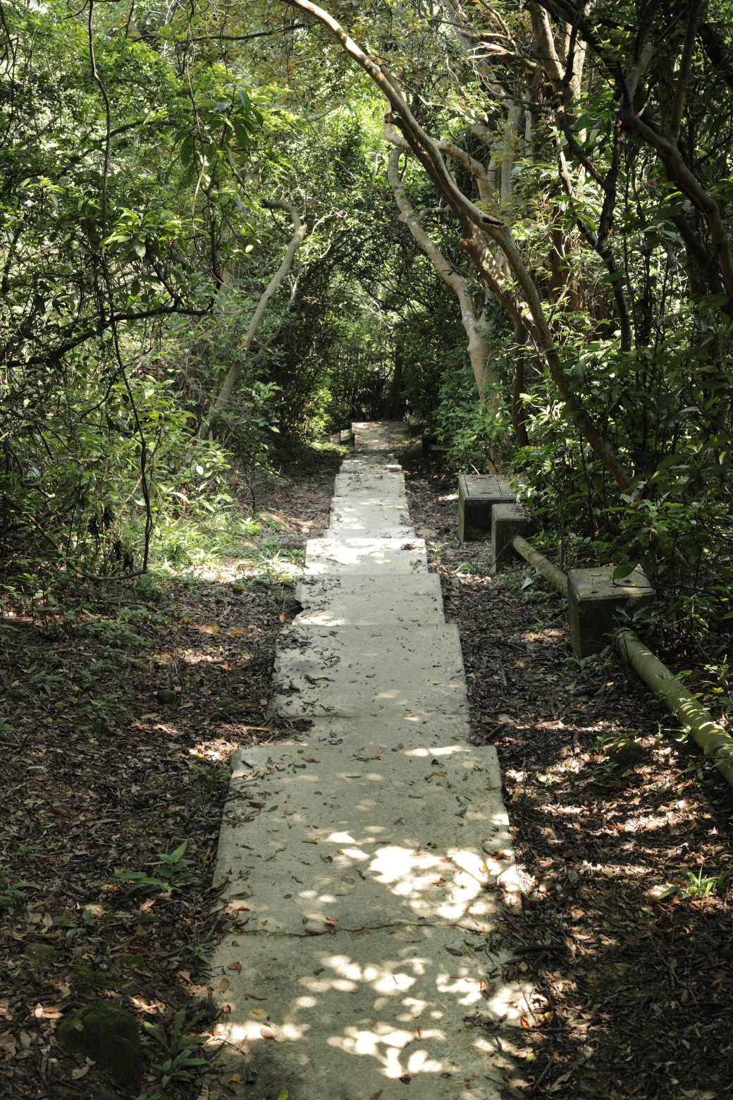
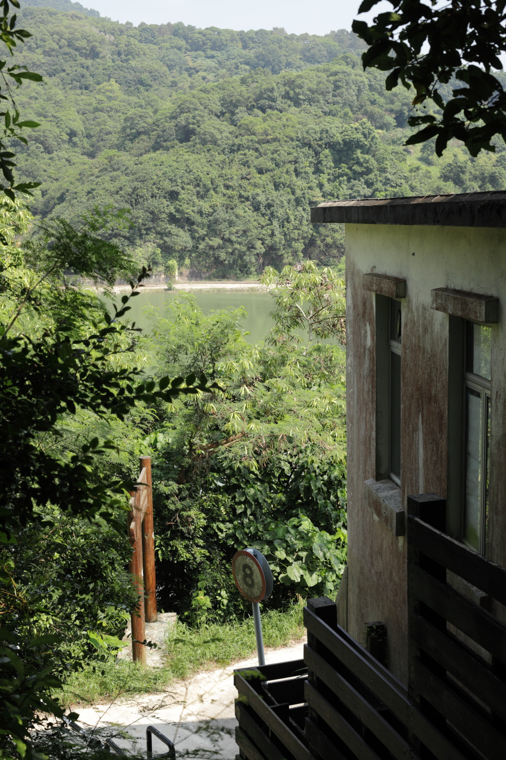
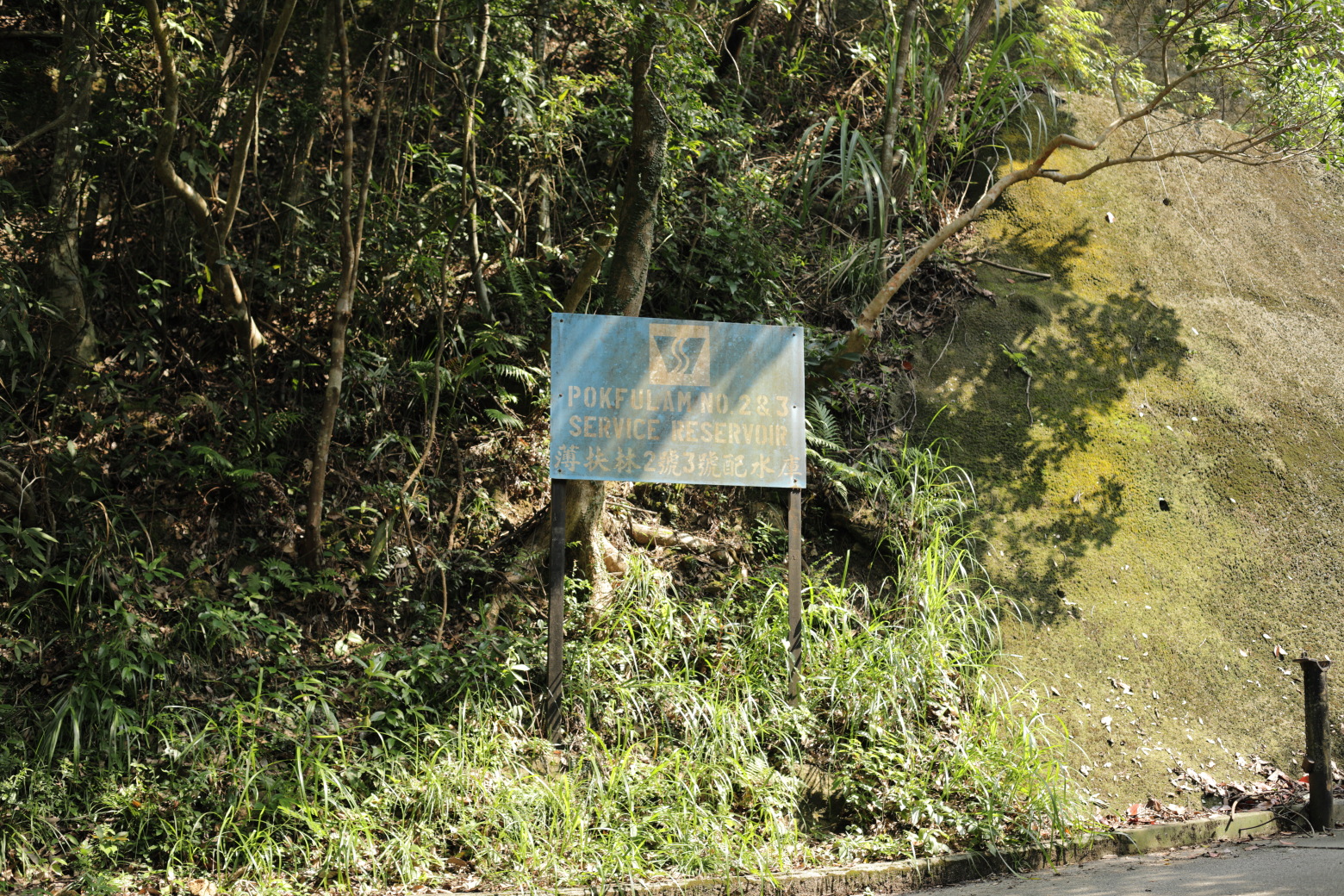
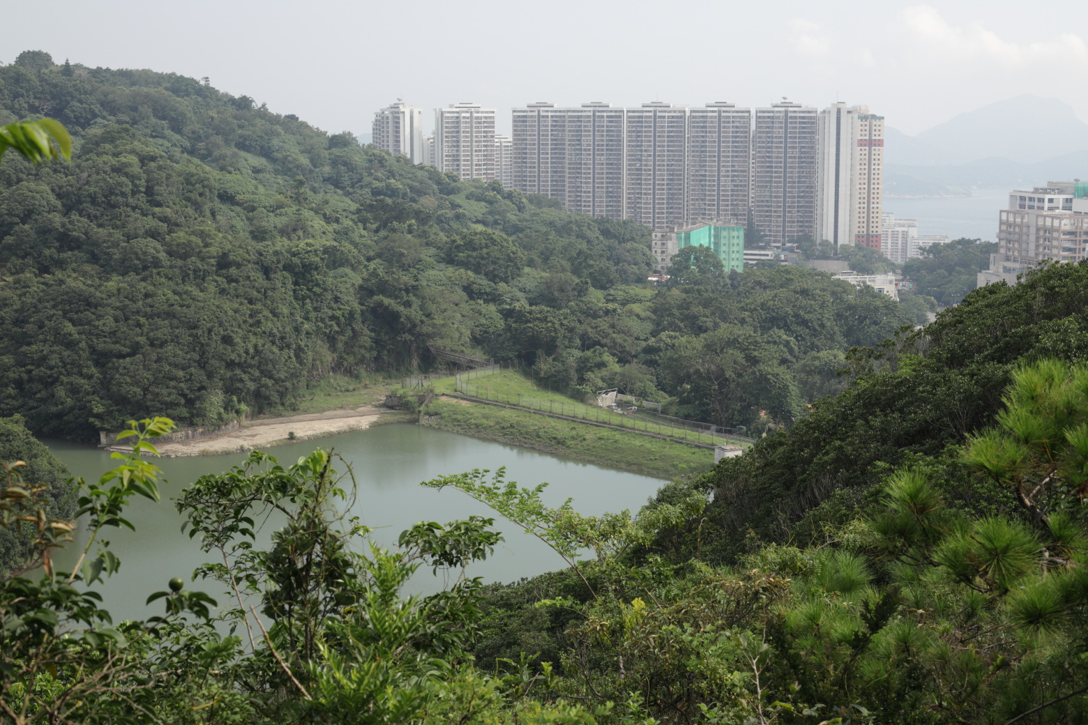
trail.Air vents on the way down to the reservoir.Stairs leading down to the reservoir.Former Watchman's Cottage with the Pok Fu Lam Reservoir in the
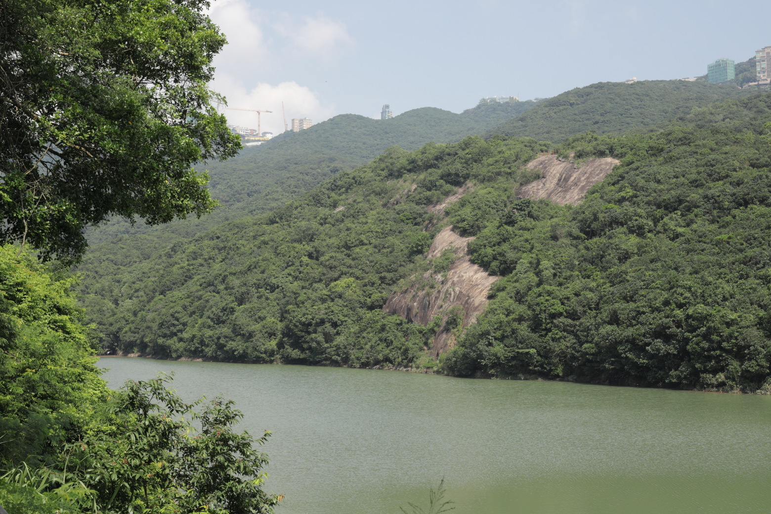
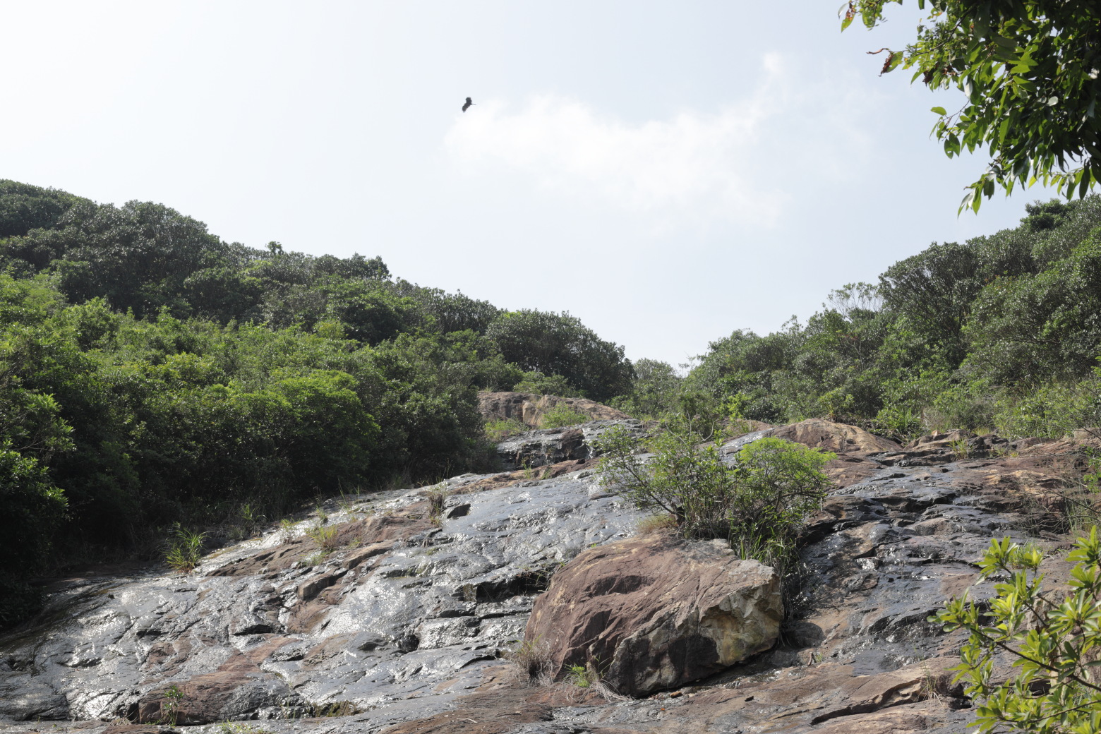
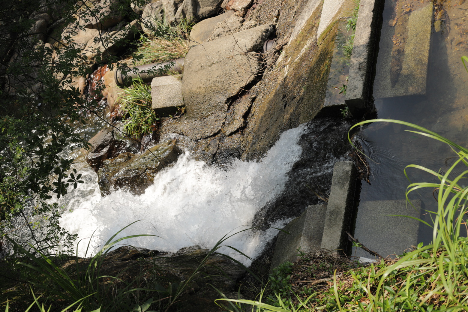
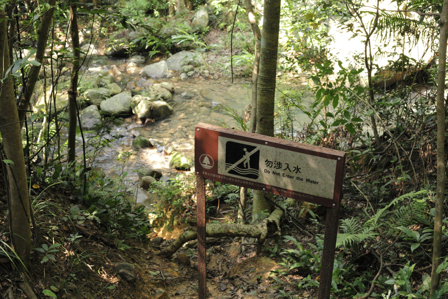
background.Cliffs and the reservoir.The edge of the reservoir.Cliffs with water flowing down to the reservoir. The bird is a
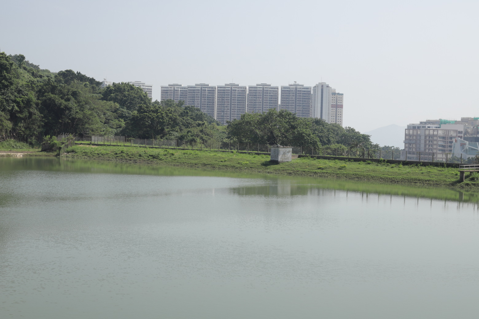
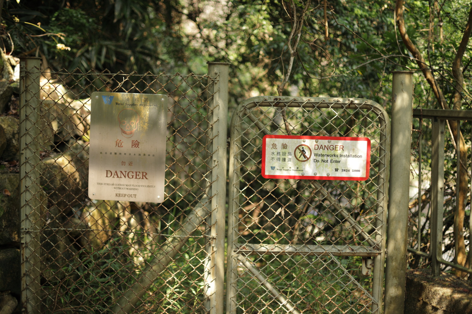
black kite, a very common sight around The Peak.A couple of warning signs.A small floodgate.On the way up from the reservoir, looking backReaching the Pok Fu Lam Reservoir Road.Pok Fu Lam Reservoir Road marks the end of section 1. Section 2
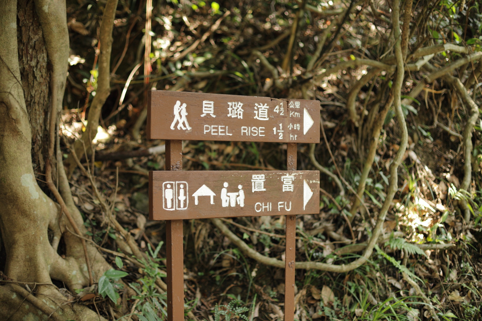
goes towards Peel Rise.Since I didn't follow the trail but walked down to the
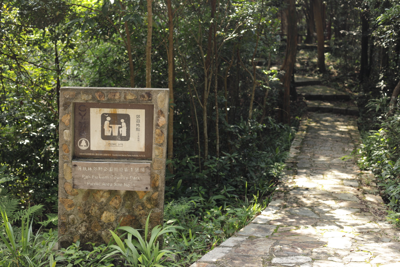
reservoir instead, I now walk part of section 1 backwards. If you walk it
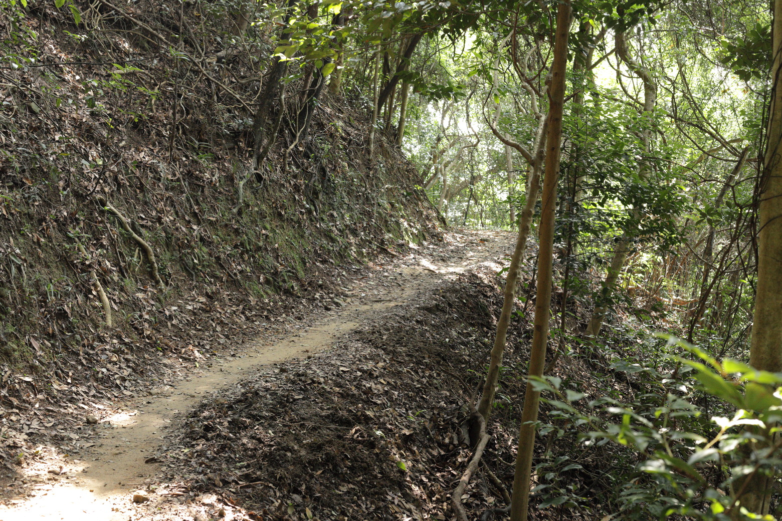
"the right way" this is what you see just before section 1 finishes.Picnic site close to the reservoir.Better walk, don't run.A proper hiking trail.Debris on the trail.On the trail over the valley, there are plenty of streams
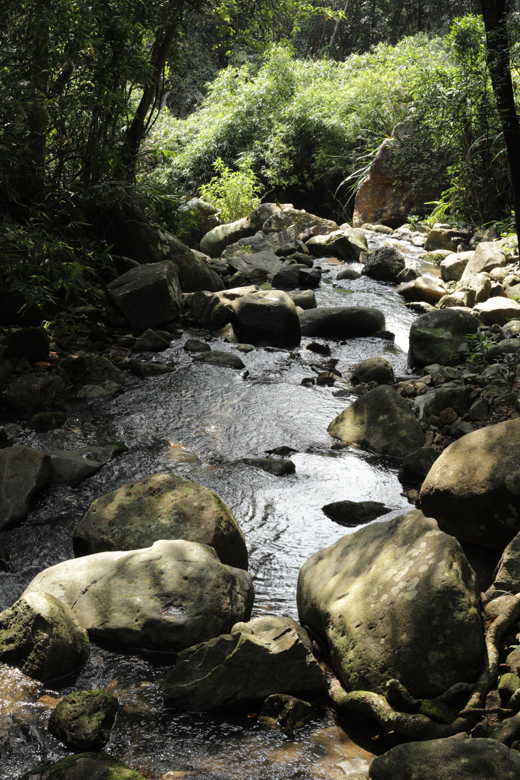
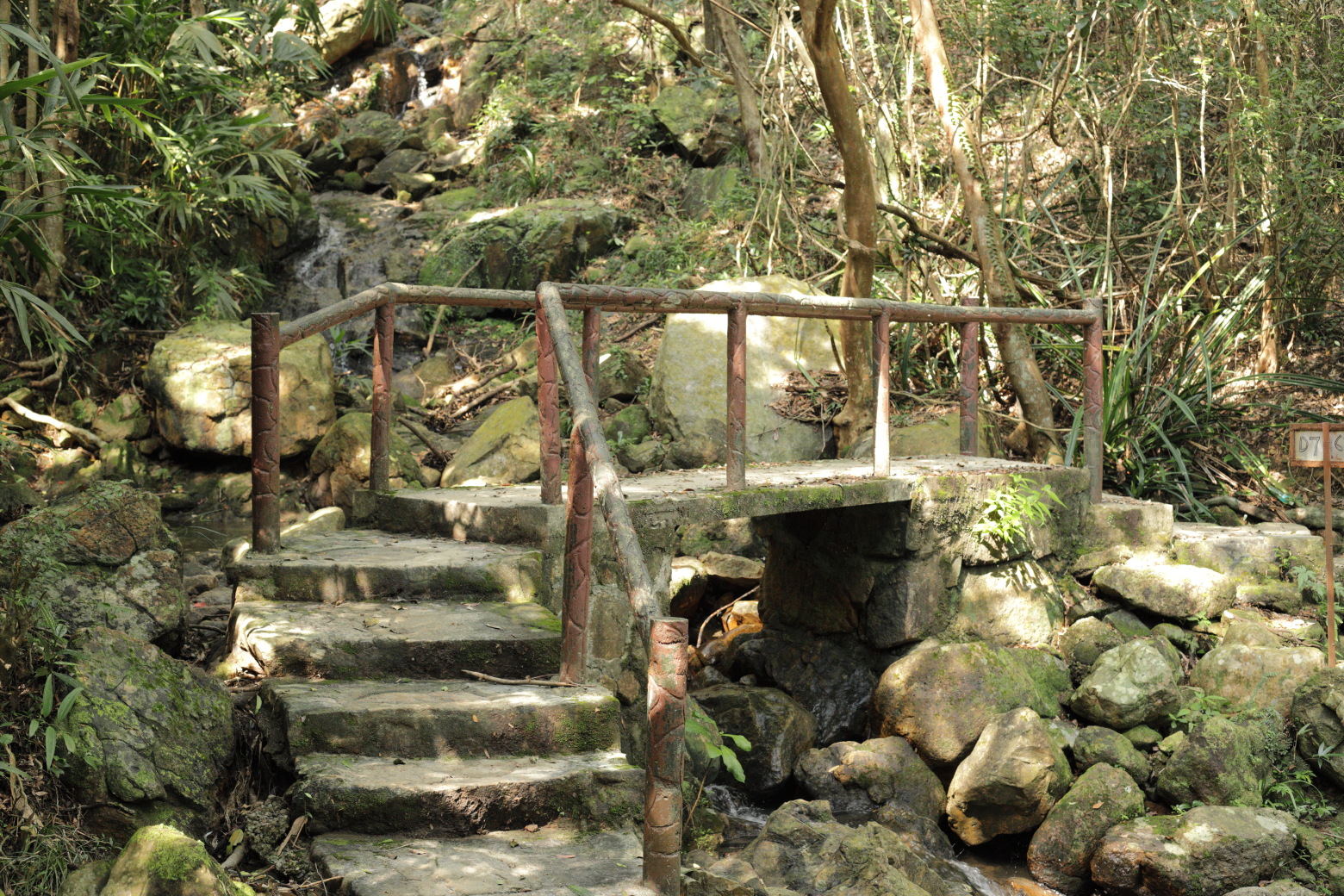
leading down to the reservoir.Another stream.There are plenty of bridges like these along the route.This is the only view you get over the reservoir from the main
trail.Pittoresque stairs.Back to where I took the turn down to the reservoir.